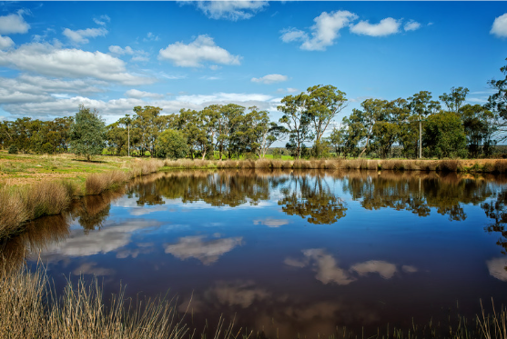
Local farmers are taking a hands-on approach to improving soil health and nutrient management with the Geographe Soil Testing Program kicking off for the 2024/25 summer. Just as you wouldn’t put oil in your car without checking the dipstick, farmers are learning to test their soil before applying fertiliser, helping to ensure that fertiliser applications are targeted, efficient, and environmentally responsible.
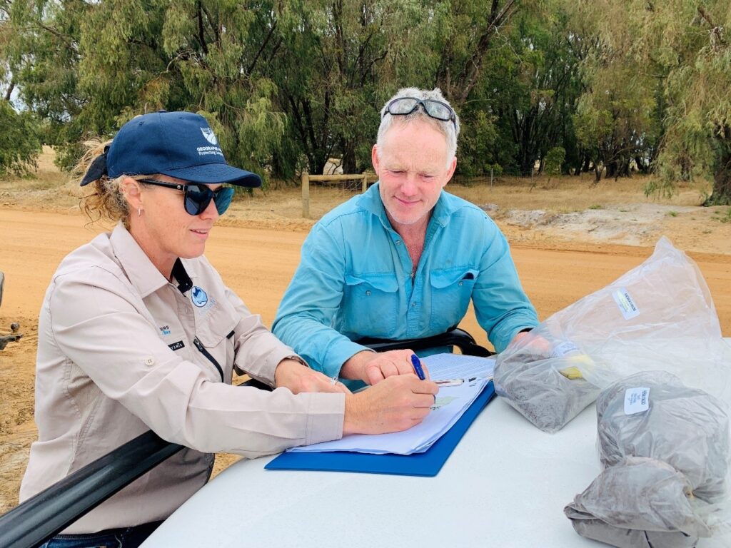
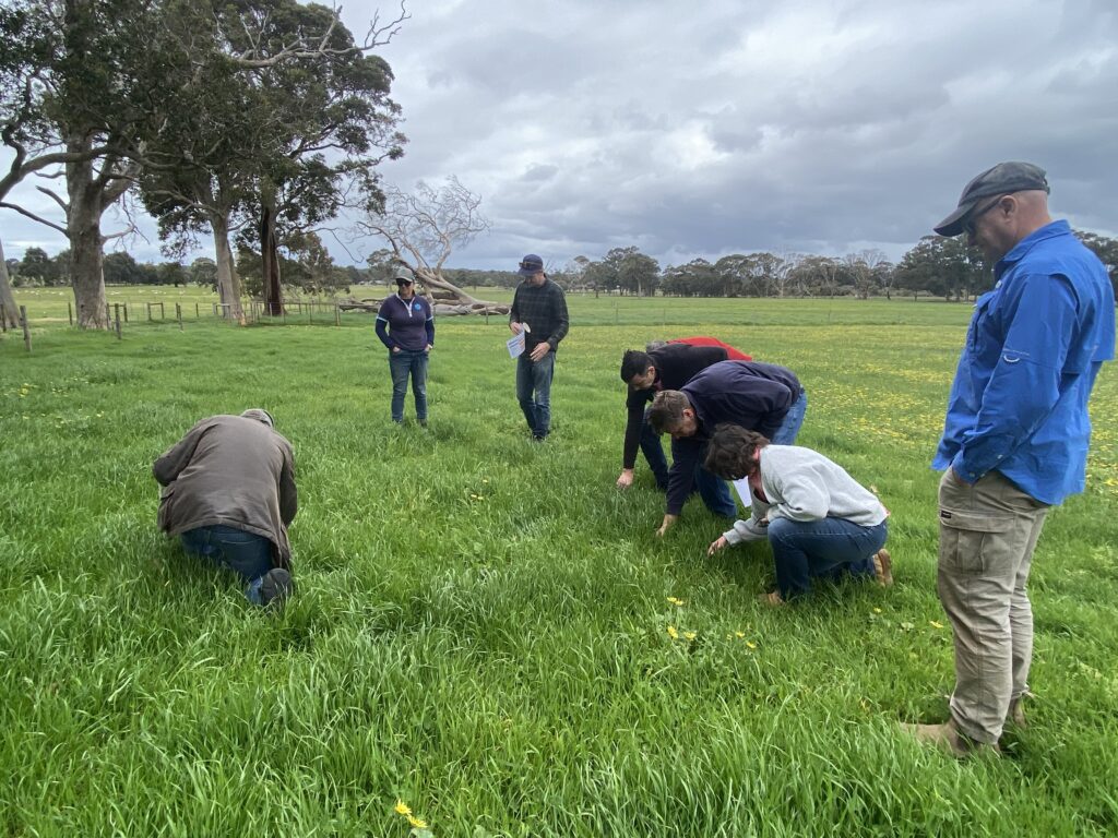
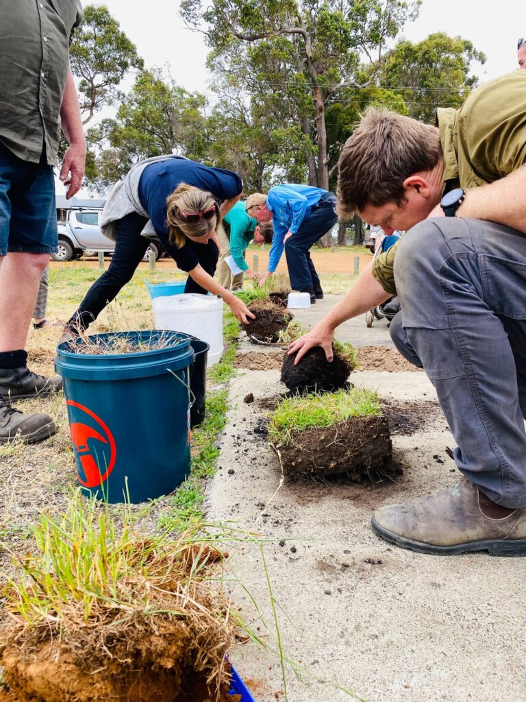
Last week, local farmers participated in GeoCatch’s practical training at Gail Stubber’s Yelverton property, as part of the Do-It-Yourself (DIY) component of the program.
The DIY Training Session offered a hands-on experience where participants learned how to use soil testing equipment, identify optimal sampling areas on their properties, and prepare their samples for lab analysis. Farmers will now collect their own soil samples from their paddocks and will meet again in the new year to review the results with experts from Department of Primary Industries and Regional Development.
Effective nutrient management is critical for the health of Geographe Bay and local farmers are doing their bit to work towards reducing nutrients entering local waterways. Since 2009 GeoCatch has been working with farmers in the region to soil test their properties, and this year’s program will see farmers sampling over 5,500 hectares of grazing land across the catchment.
GeoCatch Project Officer Jenelle explained that the Geographe Soil Testing Program helps farmers gain a clearer picture of the nutrient levels already present in their soils and identify any deficiencies that could impact pasture growth. It also raises awareness of the financial and environmental costs associated with over-applying fertilisers.
“Soil testing is a evidence-based approach that allows farmers to make informed fertiliser decisions,” says Jenelle. “It’s the first critical step in managing nutrients on farm. With the right information, farmers can fine-tune their fertiliser applications, enhacing productivity and profitability while also reducing nutrient loss to waterways.”
To learn more about GeoCatch’s sustainable agriculture projects and register for its sustainable agriculture newsletter ‘Kicking the Dirt’ visit www.geocatch.asn.au/sustainable-agriculture
This project is part of Revitalising Geographe Waterways and Healthy Estuaries WA, State Government initiaties to improve the water quality of our South West estuaries.
Photo: Geographe farmers, Peter McKay, John D’Espeissis and Robyn Robertson getting some pointers on collecting soil samples from Department of Primary Industries and Regional Development’s Dave Rogers.