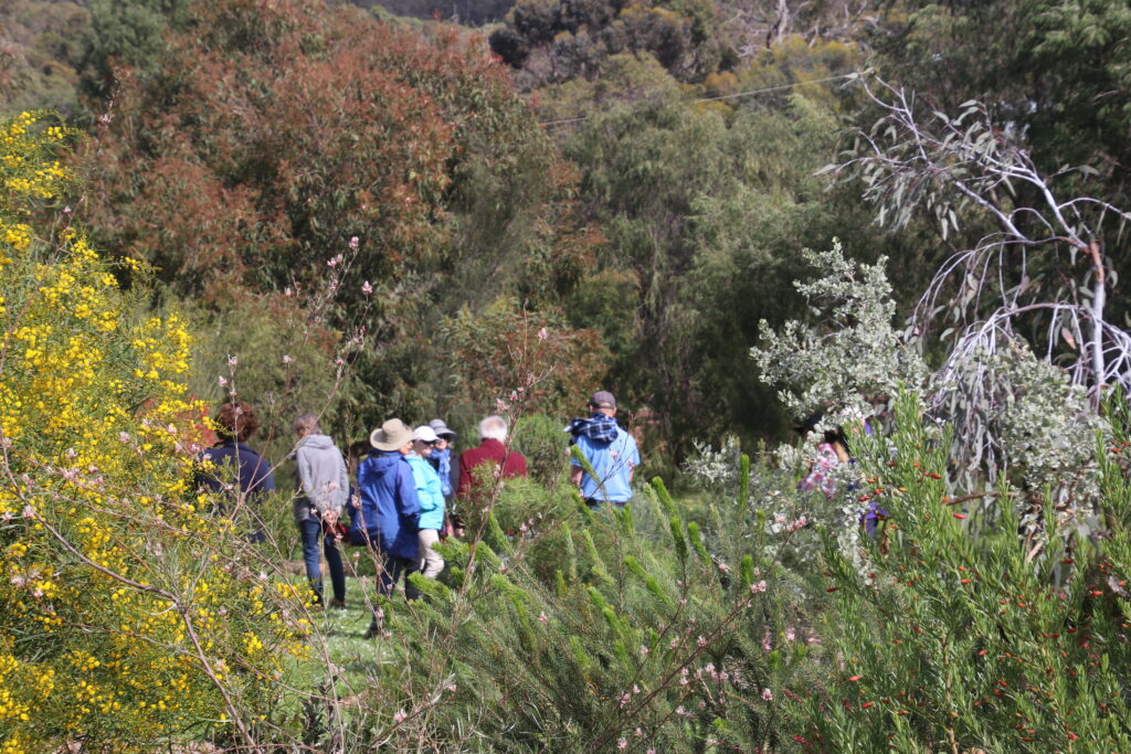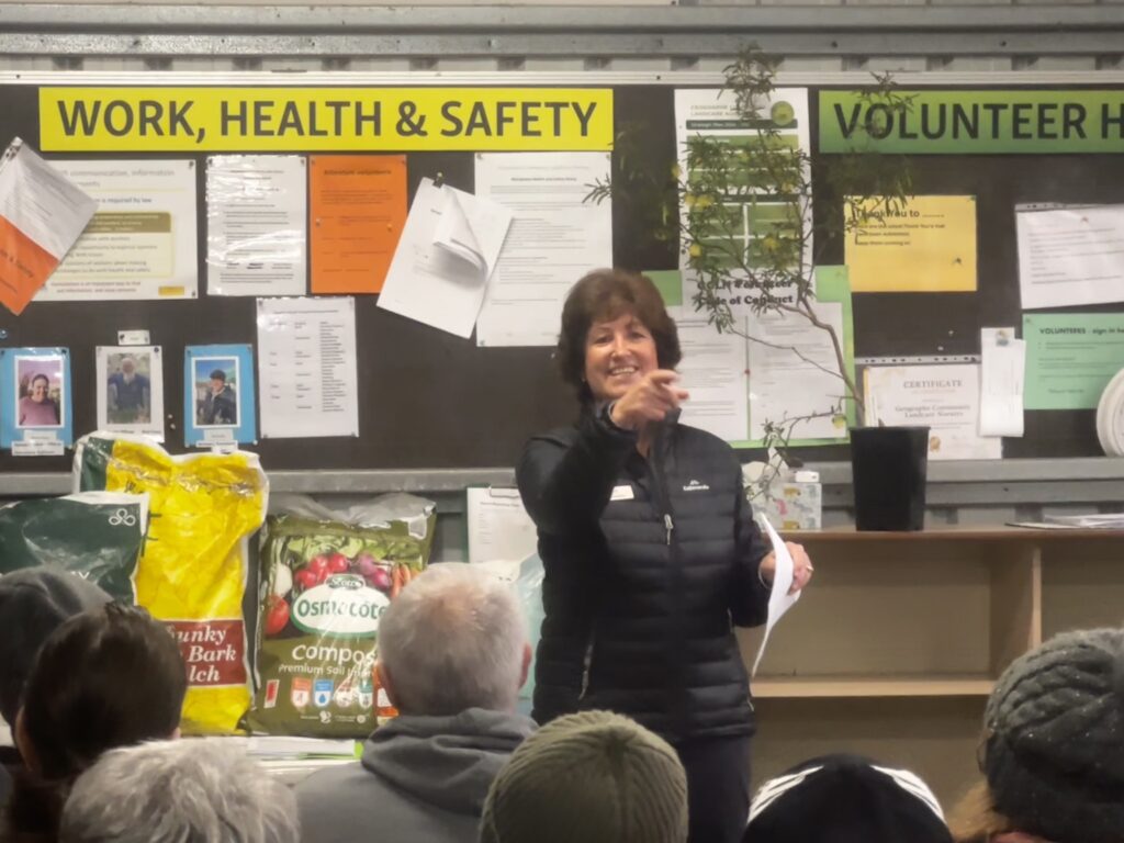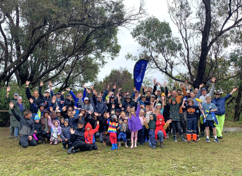
The annual Flood Protection Bus Tour hosted by GeoCatch sold out once again this year, with over 50 people attending the behind-the-scenes tour of the Geographe catchment last week.
Visiting keyinfrastructure sites and hearing from Water Corporation and Department of Water and Environmental Regulation experts, gave participants a firsthand understanding of how Busselton’s drainage network protects the community from flooding.
With much of the City of Busselton located only a few metres above sea level, effective flood protection infrastructure is essential. Homes, businesses and public assets across the region rely on a vast network of drains, rivers, floodgates and water management infrastructure operating together to reduce flood risk.
Attendees were guided through the region’s flood protection system, learning how water levels are managed, how flood modelling assists decision-making and the role the drainage network plays in supporting environmental outcomes across local waterways.
The tour visited several key drainage infrastructure sites, including the Sabina River compensating basin, Vasse Diversion Drain culverts, Vasse Surge Barrier and concluded with a walk to the Wonnerup sand bar.
Department of Water and Environmental Regulation Principal Environmental Officer Joel Hall said long-term monitoring and scientific assessment continue to underpin water management decisions across the Lower Vasse River system.
“Managing flood risk while maintaining healthy waterways requires a careful balance. Ongoing monitoring and modelling help us make informed decisions that protect homes and businesses while delivering the best possible environmental outcomes for the river system.”
GeoCatch has hosted the annual tour since 2021 in response to community interest in understanding local flood management and drainage infrastructure. Demand for places has remained strong, highlighting the community’s ongoing interest in how water is managed across the Geographe catchment.
GeoCatch Executive Manager Drew McKenzie, said it was encouraging to see so many community members taking the opportunity to learn directly from the agencies responsible for managing the system.
“The tour gives people a chance to see firsthand the scale and complexity of the drainage network and hear directly from the experts responsible for managing it,” said Drew.
Attendees gained a better understanding of local flood management and the collaboration between agencies working to protect both the community and the environment.
“The tour demonstrated the complexity of managing the flood risk with so many variables to contend with,” one attendee commented.
“Really informative tour and very knowledgeable presenters,’ said another.
The tour is organised as a collaboration between GeoCatch, Department of Water and Environmental Regulation and Water Corporation, supported by State Government initiatives Healthy Estuaries WA and Revitalising Geographe Waterways.
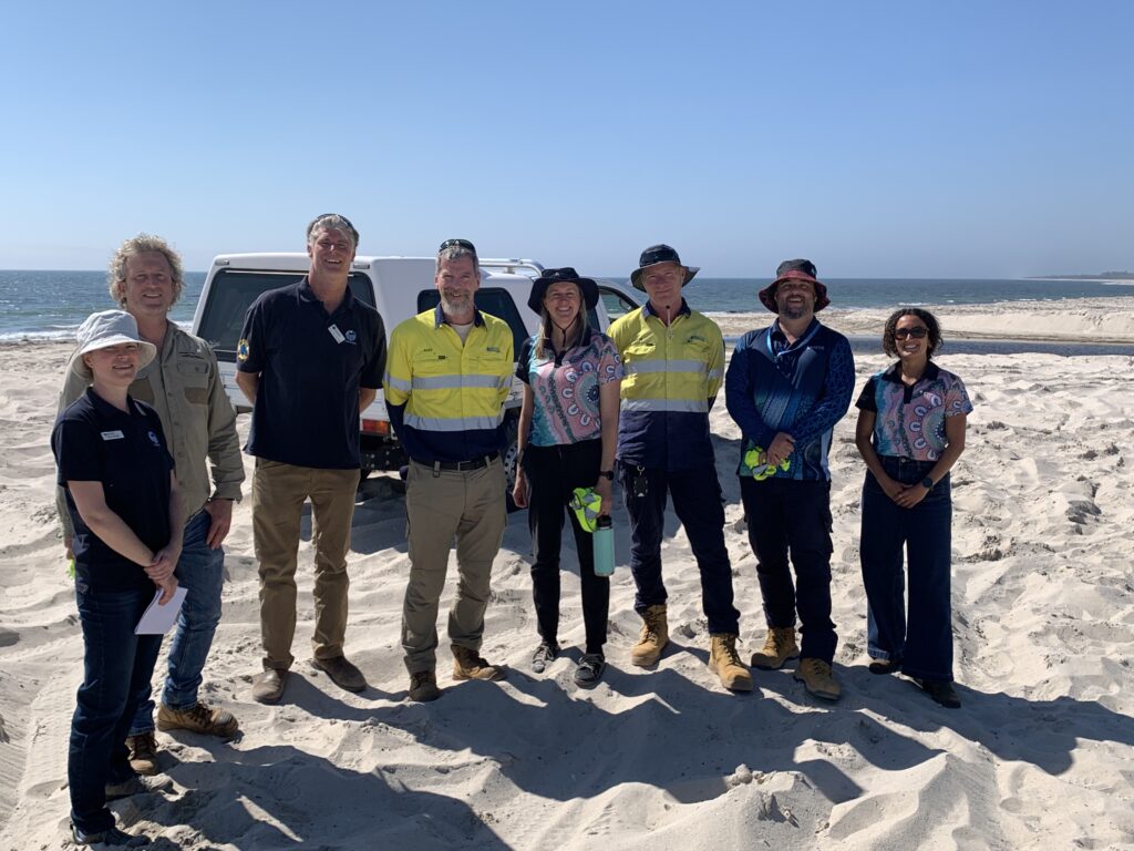
Featured photo: Josh Jackson (Water Corporation) presenting at the Wonnerup sandbar.