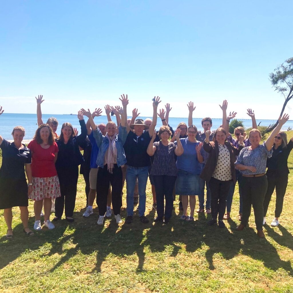
Soil testing workshops help farmers turn results into action
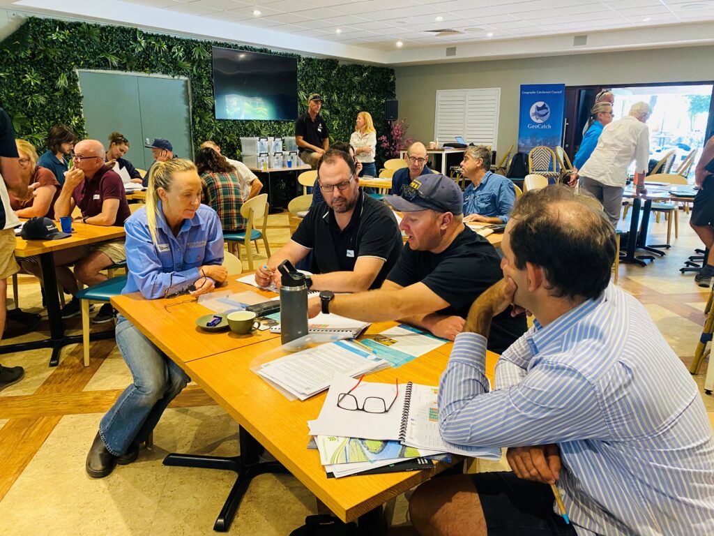
The Geographe Soil Testing Program wrapped up its annual results workshops last week, bringing together 40 farmers over two days to explore their latest soil test results and connect with nutrient experts from DPIRD and local agronomists. The sessions offered a mix of technical learning, practical discussion, and community connection. Many farmers even met neighbours […]
Ringtail Tally Reaches 10-Year Milestone
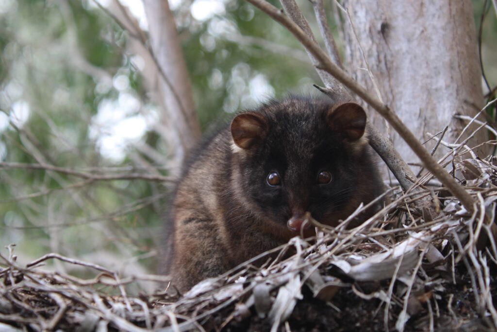
GeoCatch has finalised the results of its 2025 Ringtail Tally, marking a significant milestone, the tenth annual possum tally completed since the project began in 2016. Over four weeks, community participants reported 965 possum sightings in gardens and backyards across Busselton and Dunsborough, with 204 identified as individual animals. Of the 56 sites surveyed, an […]
GeoCatch and Mulloon Institute launch Rehydrating Farm Landscapes Program in 2026
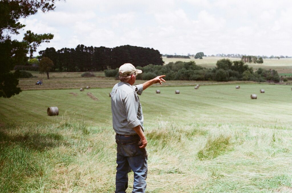
GeoCatch is excited to be partnering with The Mulloon Institute to bring the ‘Rehydrating Farm Landscapes Program’ to the Geographe region in 2026, supporting local farmers to understand water on their properties and build more a resilient landscape. With many landholders facing challenges such as water rapidly running off paddocks after heavy rain or areas […]
Preparing your property against bushfire risk
How resilient is your property should a bushfire arise? With our drying climate and increasing risk of bushfires, fire resilience and adaptation is a key issue, particularly for those living in rural and urban bushland areas. GeoCatch, in partnership with The Forever Project, have been shortlisted in the City of Busselton’s ‘You Choose’ funding program, […]
Flood of interest in drainage network
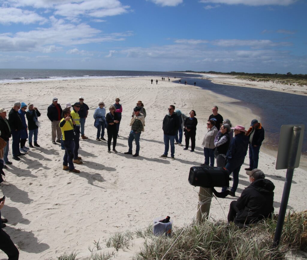
Over 50 people attended a behind-the-scenes bus tour of the Geographe catchment last week to see firsthand how Busselton’s complex local drainage network operates. The flood protection infrastructure in place is vital to protect the City of Busselton from flooding, as much of the City sits only meters above sea level. Countless homes, businesses and […]
Busselton’s hidden flood defense
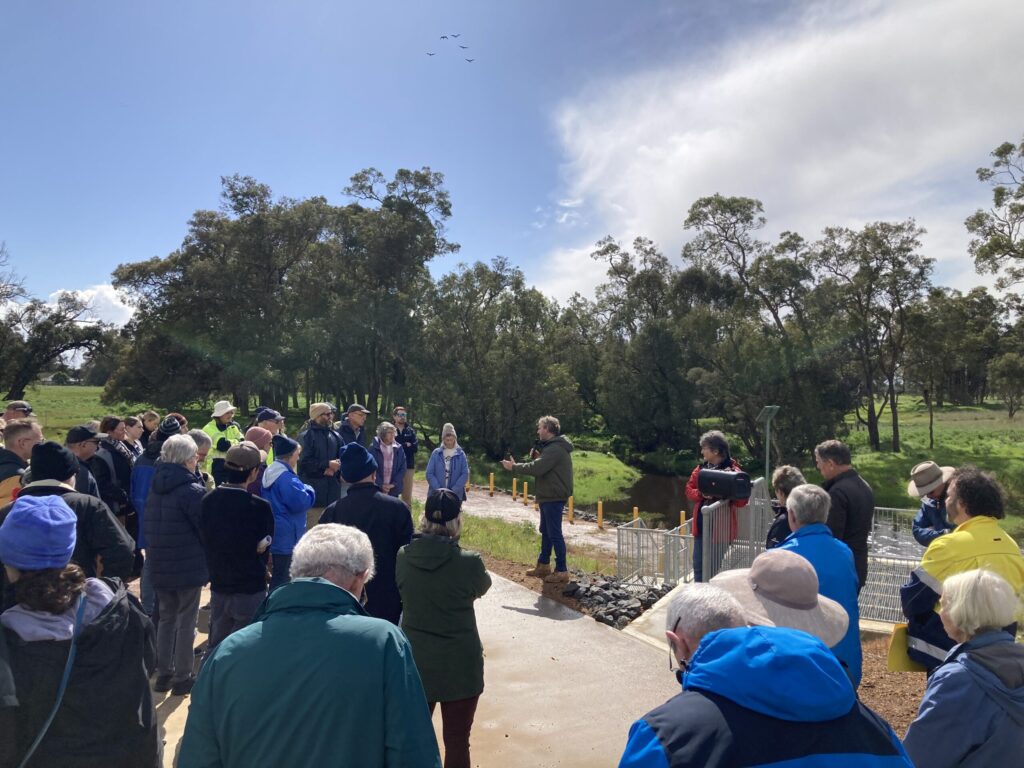
Fifty community members have witnessed firsthand the complexity of the local drainage network on a bus tour of the Geographe catchment, with GeoCatch organising the tour in response to community concerns over flood risk during winter. With much of the City of Busselton sitting only meters above sea level, flood protection infrastructure is vital to […]
GeoCatch celebrates Bev Thurlow’s retirement
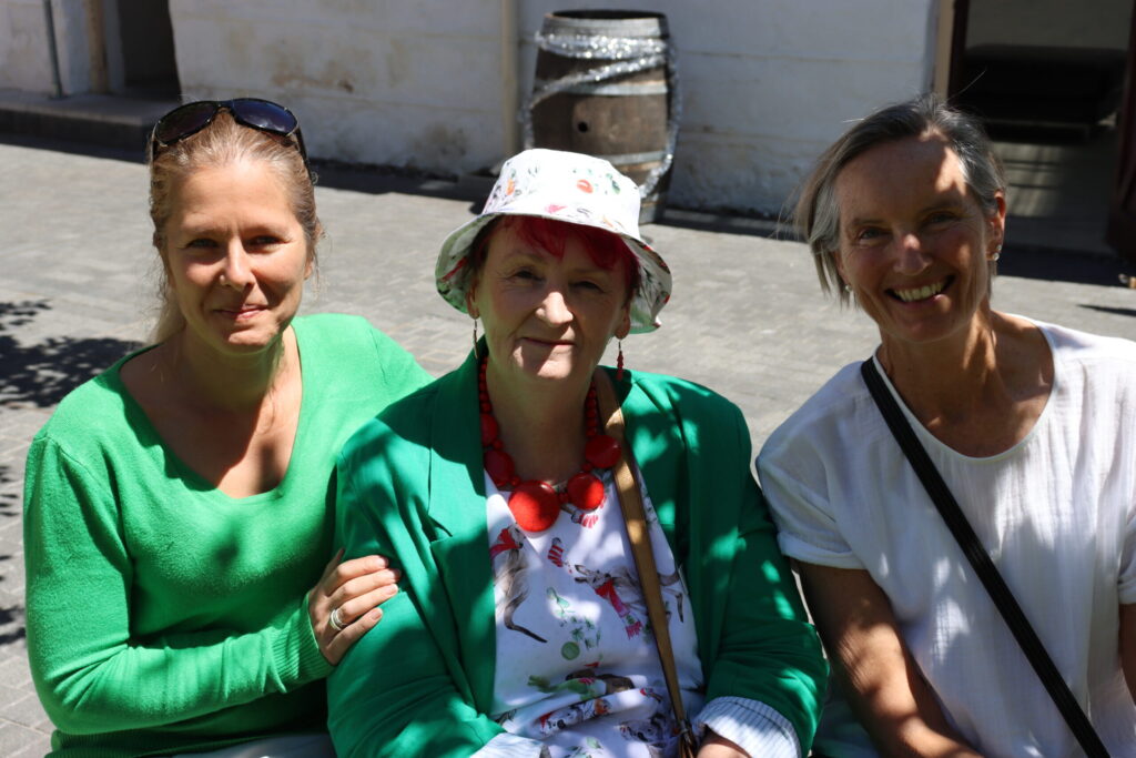
GeoCatch recently celebrated the retirement of Bev Thurlow. Bev has over 40 years of experience working in public service, 21 of those years as a member of the GeoCatch board. GeoCatch Chair Vicky Winton thanked Bev for her tireless work for GeoCatch. “Bev has a stability of knowledge that spans many years. She also brought […]
GeoCatch celebrates milestones
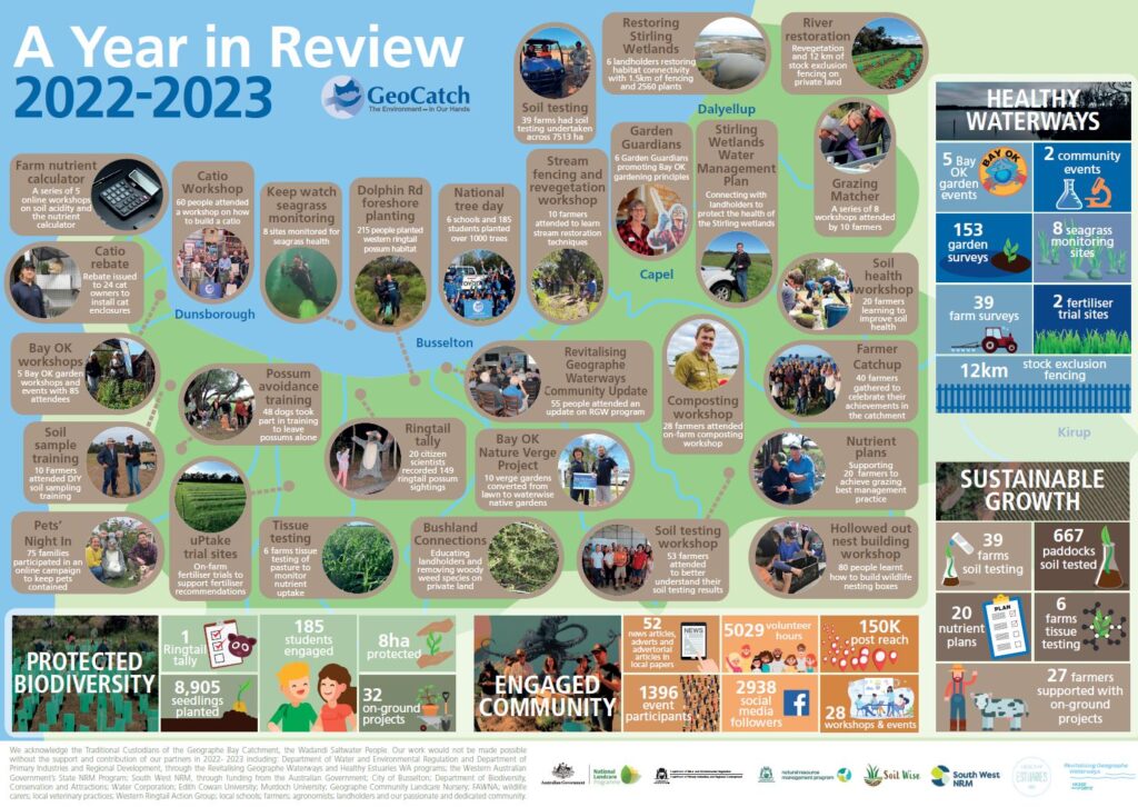
GeoCatch have celebrated achievements across the Geographe Catchment. Some of the highlights of the 2022-2023 year included an increase in protected biodiversity through the fencing of 8 hectares of farmland and the planting of 8,905 seedlings. Understanding of nutrient sources within the catchment increased with 667 paddocks soil tested and 20 farmer nutrient plans developed […]
GeoCatch appoint new Chair
Local Vet Dr. Felicity Bradshaw retired from the board of GeoCatch after seven years of continuous service, six of those as Chair. “GeoCatch has given me the opportunity to develop everything I am passionate about, from critically endangered Western Ringtail possums, to the way we apply fertiliser throughout the catchment,” said Felicity. “Everything I have […]
Complexity of Busselton flood protection revealed
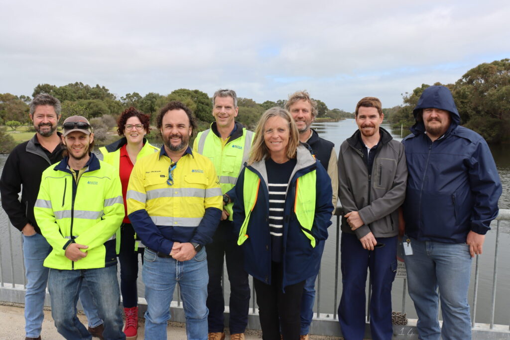
With thousands of people living in Busselton only meters above sea level, a lot of work goes into protecting the city from flooding. 43 community members witnessed firsthand the complexity of the local drainage network on a recent bus tour of the Geographe catchment. GeoCatch organised the tour in response to community concerns over flood […]

