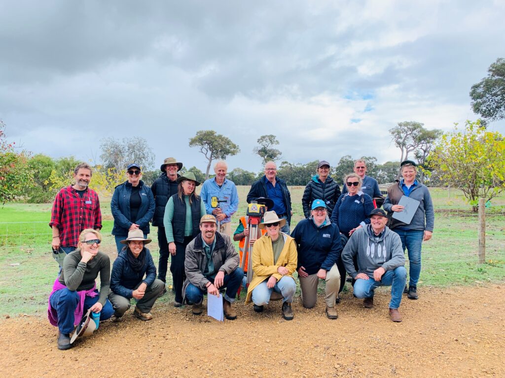
Rain, hail or shine the DWER south west water quality monitoring team are out and about in boats, cars or kayaks monitoring water quality of south west estuaries and catchments.
The small team, based in Busselton and Bunbury, monitor the Leschenault Estuary, Hardy Inlet and Vasse Wonnerup wetlands and their catchment’s monthly.
Results from estuary monitoring are used to develop report cards and provide long-term monitoring of the health of these important ecosystems.
DWER Environmental Officer Dr Jo Browne coordinates the south west monitoring program and says her team feels privileged to be able to observe the estuaries changing through the seasons and collecting important data sets.
“I am able to regularly get out on the water, analyse the data and provide information back to the community and stakeholders – I have the best job in the south west!” said Jo.
The team also undertake summer algae monitoring across south west estuaries, the Toby Inlet, and the Lower Vasse River. Samples are analysed by the Department’s Phytoplankton Ecology Unit in Perth and Bunbury who analyse samples and provide health warnings if potentially toxic algal species are detected.
As part of the Healthy Estuaries WA and Revitalising Geographe Waterways, 46 sites are monitored in rivers across the Geographe, Leschenault, Lower Blackwood and Scott River catchments. The data is used to create reports and populate catchment models that inform management priories and monitor water quality trends over time.
Water quality data collected by the team is critical to assess the effectiveness of management actions undertaken in the catchment to improve water quality.
The south west monitoring team have 15 different programs running over the 2022 winter including monitoring of sediment removal projects in the Lower Vasse River and Vasse estuary. Data collected from these projects will be essential in understanding changes in water quality during the dredging process.
“Our water quality team are highly experienced and dedicated. They often work in tough conditions and are relentless in their pursuit of high-quality environmental data. I’m very lucky to work within such a great team,” said Jo.
Data collected by the team and other members of DWER are available at https://wir.water.wa.gov.au/Pages/Water-Information-Reporting.aspx, and reports and background information on https://estuaries.dwer.wa.gov.au/
This project is part of Royalties for Region’s Healthy Estuaries WA and Revitalising Geographe Waterways programs. These State Government initiatives aim to support the long-term health of our south-west estuaries.