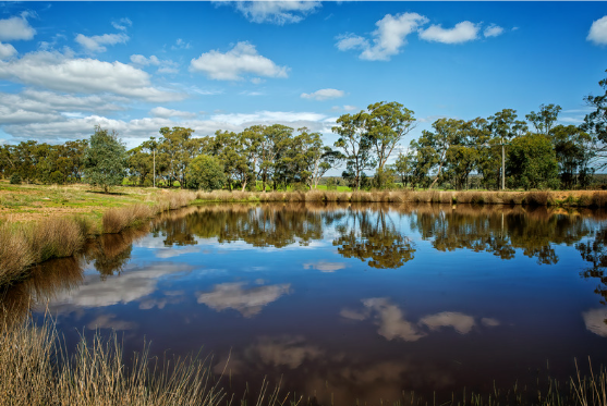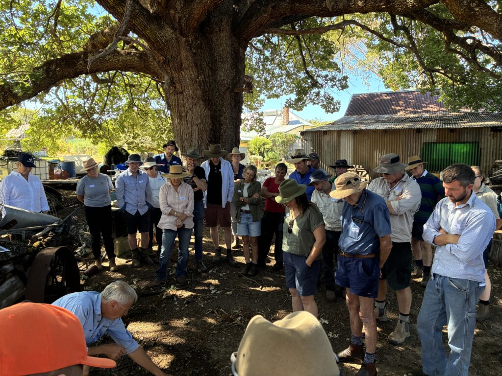
A sold-out crowd gathered at Barry and Dale Green’s Boronia Farm in Paynedale for the Rehydrating Farm Landscapes Introductory Field Day on 4 March, delivered in partnership with GeoCatch and the Mulloon Institute. Landholders came together to learn strategies for restoring landscape function, improving water resilience, and building sustainability into their farming practice.
With many landholders facing challenges such as water rapidly running off paddocks after heavy rain or areas that swing between winter flooding and summer dryness, the program offers practical, proven strategies to hold water in the landscape and restore ecological balance.
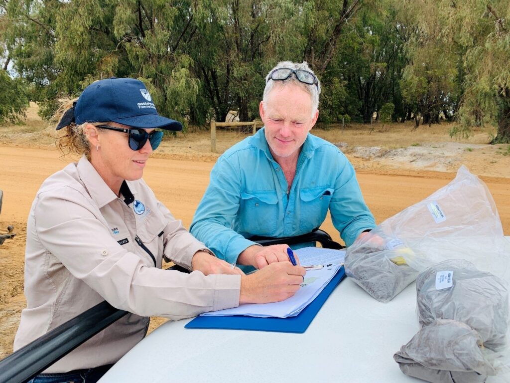
Hydrologist Lance Mudgway, with over 20 years’ experience managing surface and groundwater in Western Australia’s agricultural areas, led participants through the fundamentals of natural landscape function, demonstrating how water behaves across different surfaces and how features such as chain-of-ponds and step-pool sequences help dissipate energy.
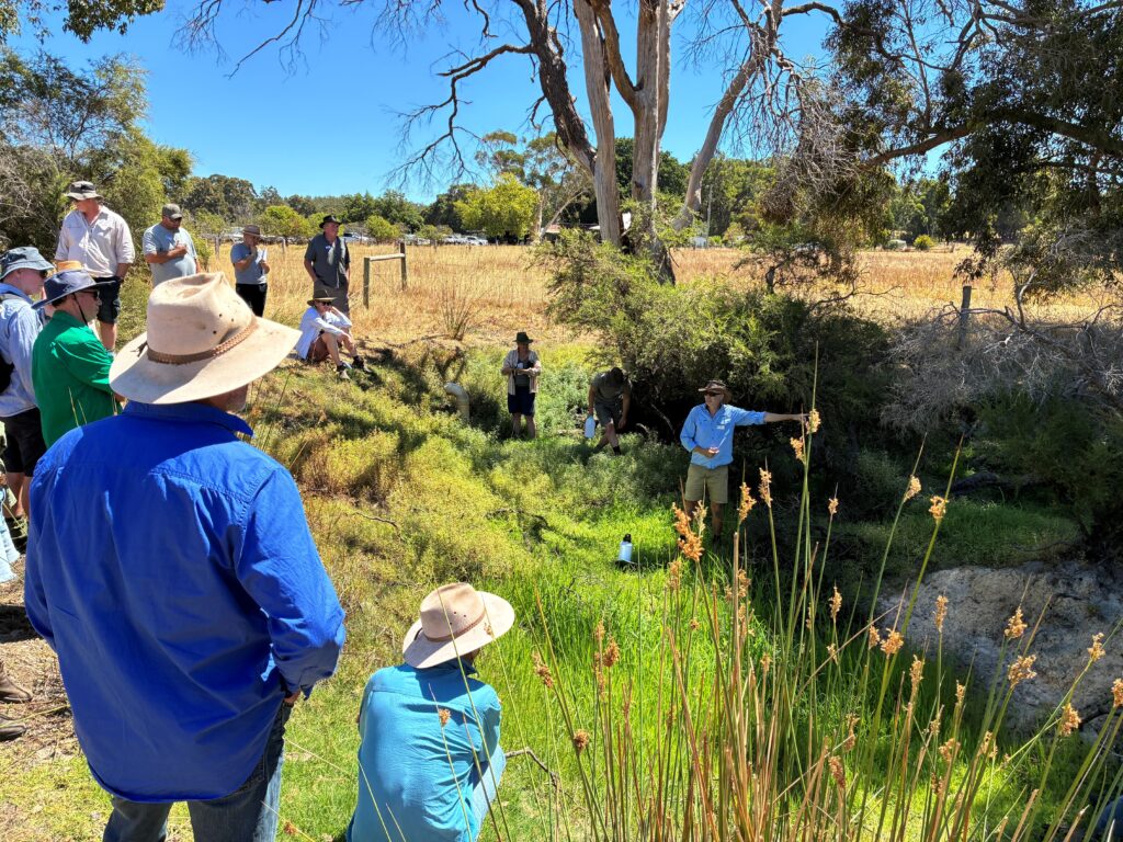
The group explored Boronia Farm’s creek system, identifying riffles, pools, erosion points, and sediment deposits while discussing how catchment processes shape waterways and how in-stream structures can help restore stability. The discussion naturally led to the question of what could be done on this farm to slow water, spread it across the landscape, and sink it into the soil.
The morning concluded with a landscape assessment exercise, where participants observed soil condition, vegetation cover, slope, and hydrological pathways to understand the property’s current function and future trajectory. Lance highlighted key rehydration principles like growing more plants, protecting existing features, slowing water, and keeping sediment close to its source.
An afternoon paddock walk focused on soil health and plant growth, including demonstrations of multi-species cover crops and the benefits of rotational grazing.
The strong turnout and enthusiasm on the day reflects a strong interest in sustainable approaches to landscape management across the catchment.
What’s next?
Next in the program is a hands-on, two-day bootcamp in April, designed to give farmers, landholders, and land managers the practical skills and confidence to restore landscape function, improve water retention, and build long-term soil health.
Bootcamp graduates can then continue with the ‘One-on-One Mentoring Program’ with Lance, tailored for each individual landholder.
The Mulloon Institute is recognised nationally as a leader in regenerative agriculture and landscape rehydration, helping farmers improve soil health, restore water cycles and build climate-resilient farming systems.
This initiative is supported by the Australian Government through funding from the Climate-Smart Agriculture Program under the Natural Heritage Trust.