As South West WA approaches the end of its driest period of the year, it is comforting to know that there are still some amazing summer refuges and wetlands for birds while the weather is still warm.
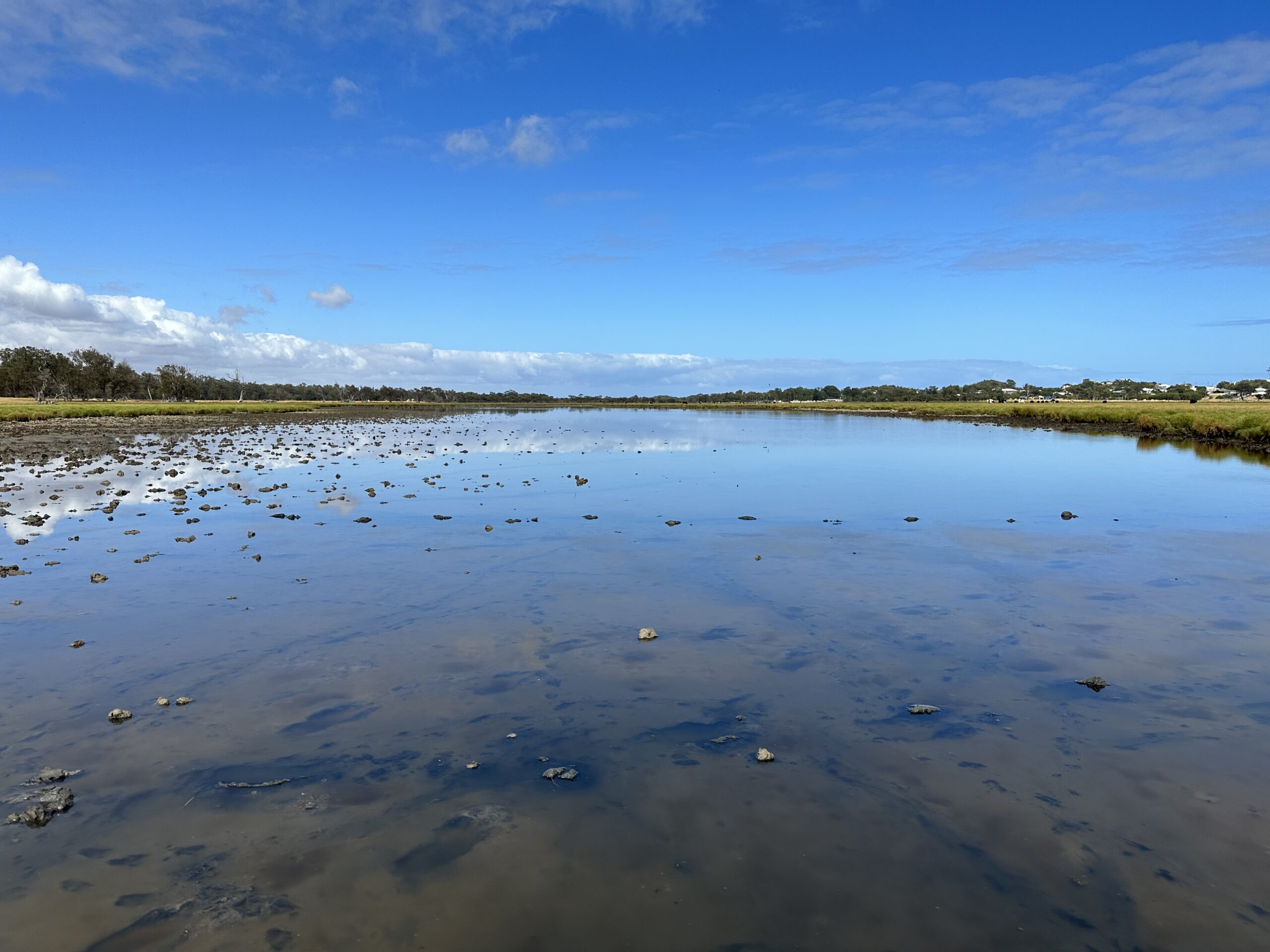
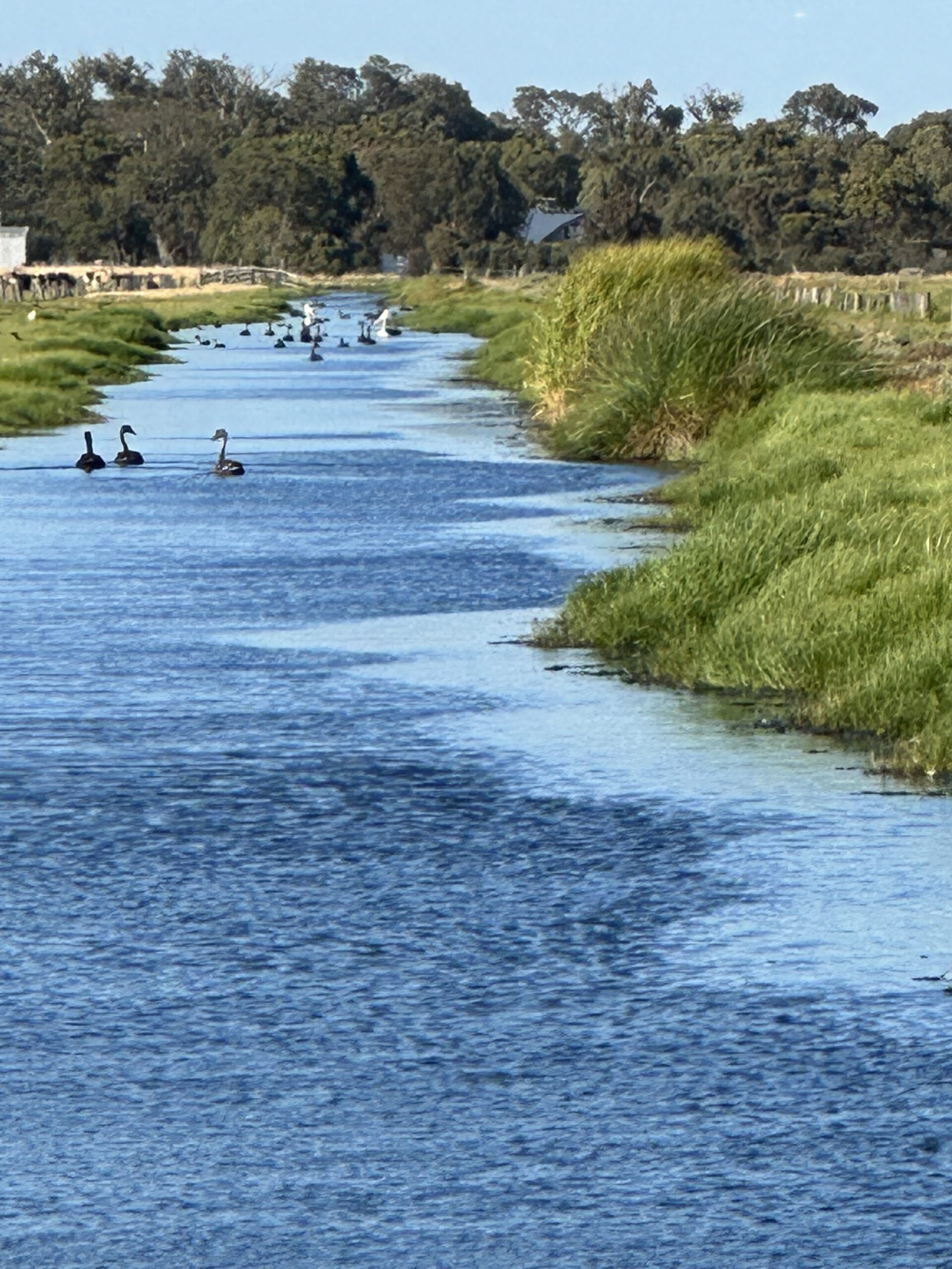
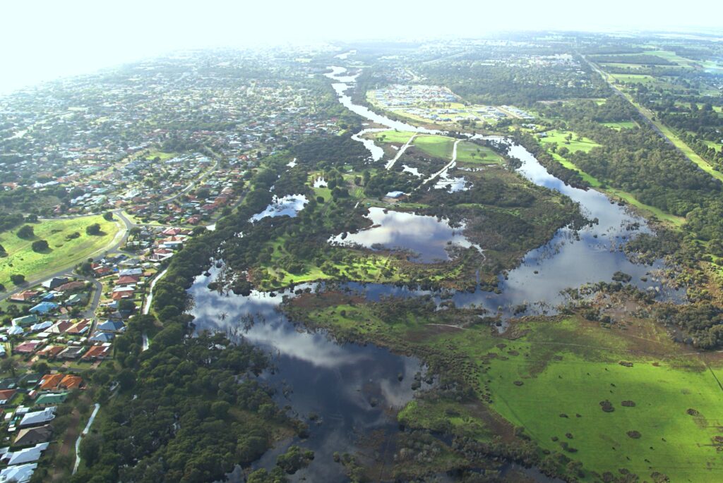
Water levels in the Stirling Wetlands, between Busselton and Capel, remain high on the southside at this time of year. The water in the wetlands supports a wide range of food sources that both local and migratory birds can feed on when other wetlands have dried up for the summer.
Scientists from GeoCatch have been undertaking weekly bird counts over summer and have been impressed with the total number of birds and species diversity. “The Stirling wetlands are mostly on private land but still retain high conservation values. They are also highly vulnerable to a drying climate and impacts from land practices, so it is important that we gather this data on their current state,” said Michelle Hughes from GeoCatch.
The Stirling Wetlands NRM grant project aims to improve degraded vegetation and waterbird habitat by creating ecological corridors in the wetlands.
This project is supported by the Water Corporation and the Natural Resource Management program.