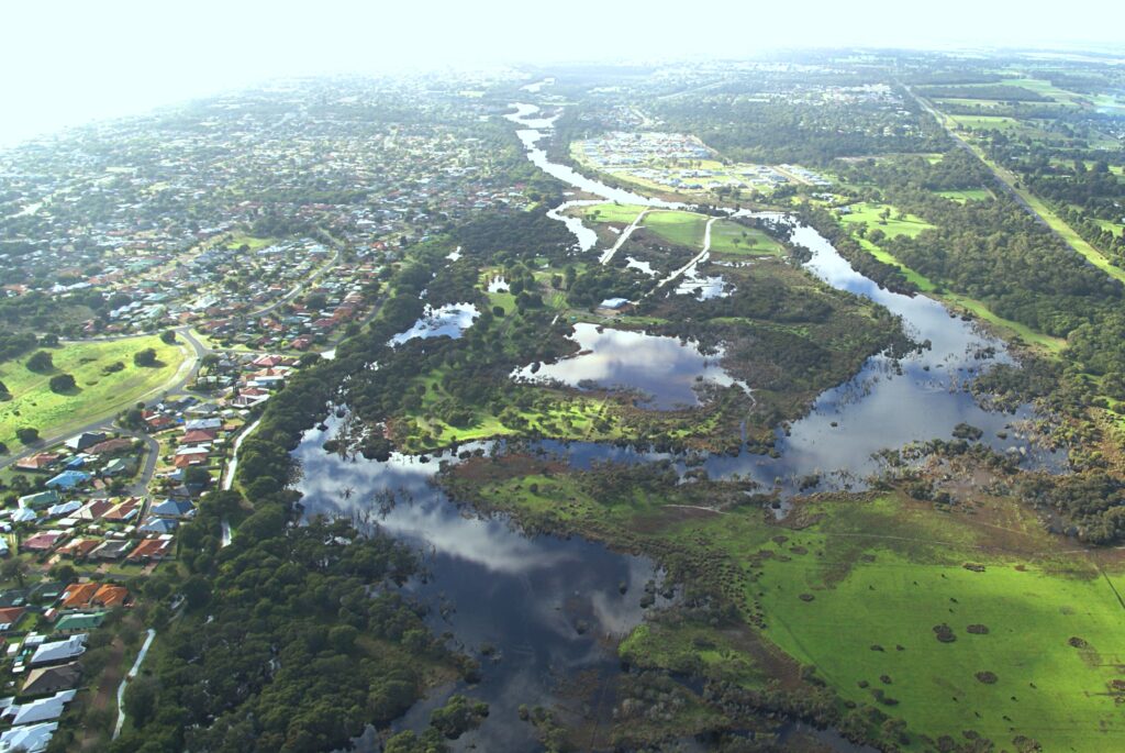
In April 2013, a mass fish kill in the Vasse Wonnerup wetlands was a pivotal moment in how the wetlands are managed.
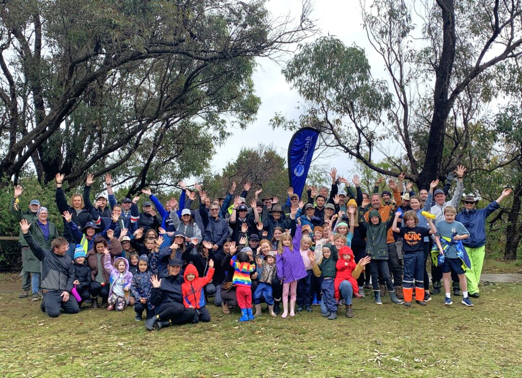
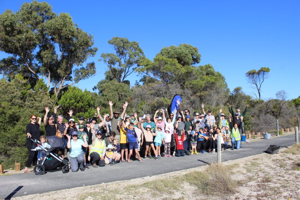
Reflecting on the past 10 years, scientists and managers came together last week to present to the community at an update hosted by GeoCatch in Busselton.
GeoCapes District Manager for the Department of Water and Environmental Regulation (DWER) Dr Kath Lynch outlined major changes in how the wetlands are managed including oversight by the Vasse Taskforce and operational management by the five government agencies who make up the Vasse Wonnerup wetlands Partnership.
“There was some concern from the community in the early days with the Partnership model for managing the wetlands, but it has proved a great success for collaboration across government agencies and ensuring all values and challenges of the wetlands are considered” said Kath.
Also presenting was Dr Linda Kalnejais from DWER’s Aquatic Science Branch who explained why fish kills occur and some of the unique challenges of the Vasse Wonnerup wetlands.
“The science and monitoring we now have in place enables us to identify conditions that may increase the risk of fish kills including low dissolved oxygen and high phytoplankton numbers” said Linda.
“Having this data enables us to undertake actions to avoid a fish kill including opening the fish gate on the surge barrier and ensuring the Wonnerup sand bar is open”.
“Although we have more tools in the Vasse than other estuaries we are still limited by tides and weather conditions, so although we can reduce the risk of fish kills we can’t avoid them completely”.
Dr James Tweedley from Murdoch University has been monitoring fish numbers in the Vasse Wonnerup wetlands since 2012 and spoke in detail about Black Bream, who complete their entire life cycle in the estuary.
“Black Bream grow to around 60 cm and can live for 30 years. Because they complete their life cycle in the estuary, large fish kills like the 2013 event can have a big impact on fish populations” said James.
“The abundance of juvenile Black Bream declined massively after the 2013 fish kill, however the good news is numbers have since improved, particularly in the last year”.
Feedback from community members attending the event was positive, with 86% of attendees believing management of the wetlands had improved significantly since the 2013 fish kill event, and 96% having a high confidence in the science underpinning management decisions.
“With all the monitoring that has taken place over the years, the managers have a solid science base to make decisions” said one attendee.
Management of water quality in the Vasse Wonnerup wetlands is a partnership between the Departments of Water and Environmental Regulation, Biodiversity Conservation and Attractions, and Primary Industries and Regional Development, the Water Corporation and the City of Busselton. For more information visit https://rgw.dwer.wa.gov.au/vasse-wonnerup-wetland/
This project is part of Healthy Estuaries WA and Revitalising Geographe Waterways. These State Government initiatives that aim to support the long-term health of our south-west estuaries.