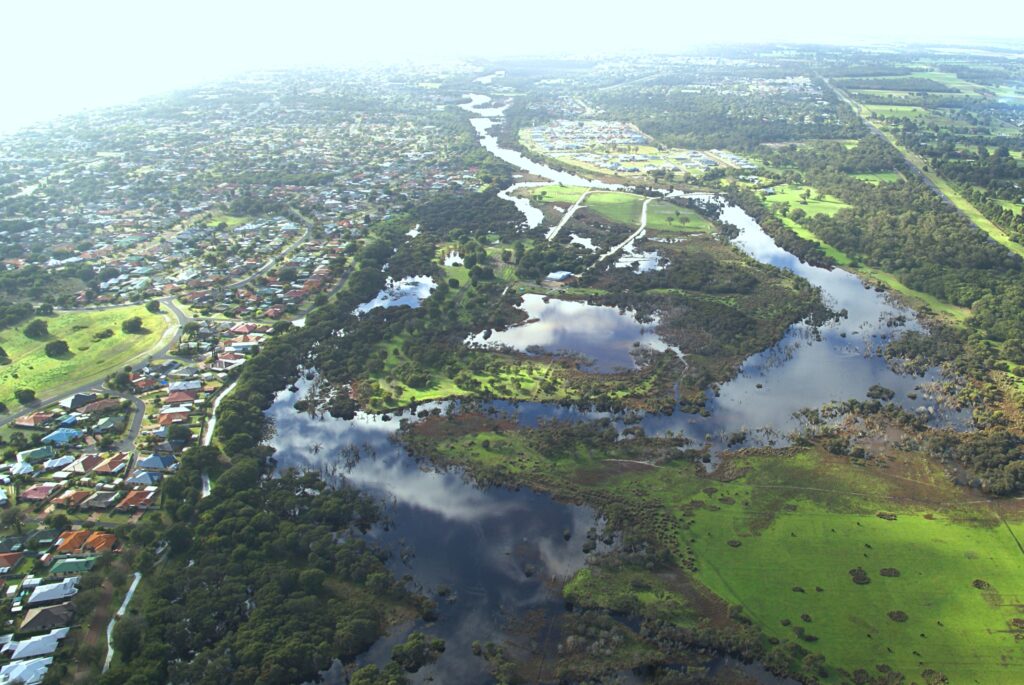
Ever wondered what sort of life is in the pools and rivers of the south west?
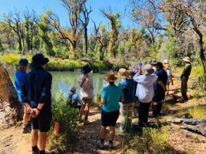
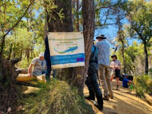
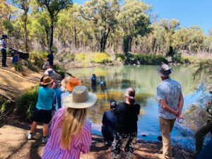
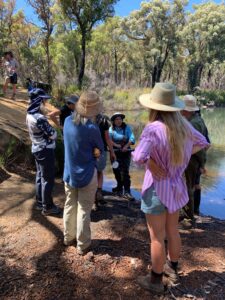
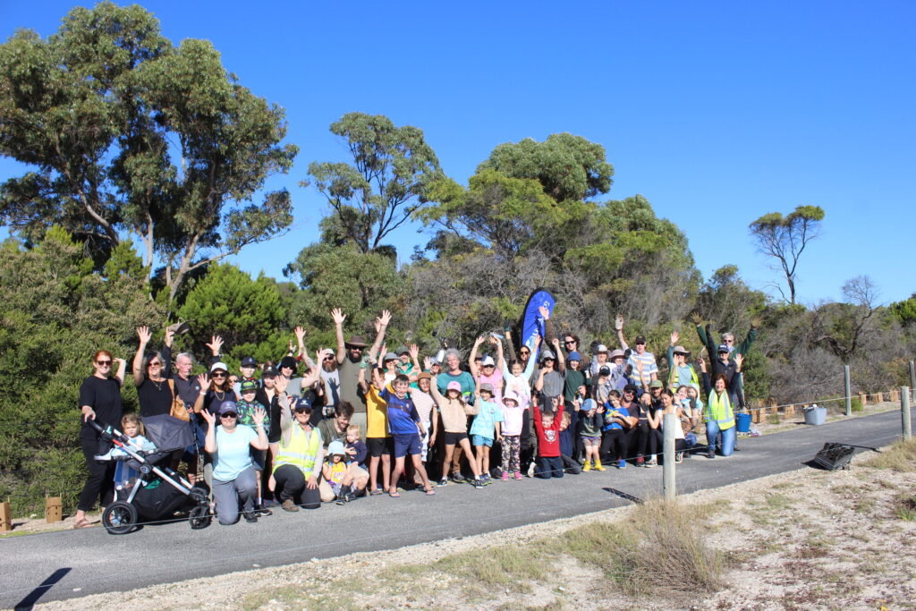
Last week a group of lucky community members got the chance to meet with a team of Department of Water and Environmental Regulation (DWER) scientists as they conducted a River Health assessment of Canebrake Pool.
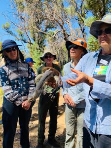
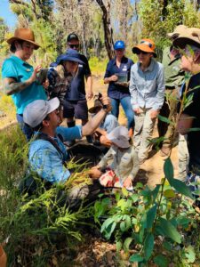
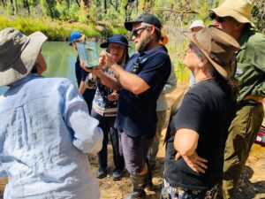
GeoCatch and Nature Conservation Margaret River Region hosted the “Life in our Waterways” Experience, helping locals discover the hidden wonders of Canebrake Pool with the help of Dr Tim Storer and his team from DWER’s River Science Department. The morning’s assessment revealed a diverse and thriving aquatic ecosystem, giving participants a better appreciation of the biodiversity in our local environment. From nightfish and pygmy perch, to a snake-necked south-western turtle and marron, the team are undertaking exciting and vital work assessing the health of south west waterways.
Geographe resident and GeoCatch Board Member, Annette Batley shared her enthusiasm saying “Exploring Canebrake Pool with the DWER scientists was a real eye-opener. Not only was it fascinating to see the range of species that are living right here in our own backyard, but it highlighted the passion that the DWER team have for protecting the waterways”.
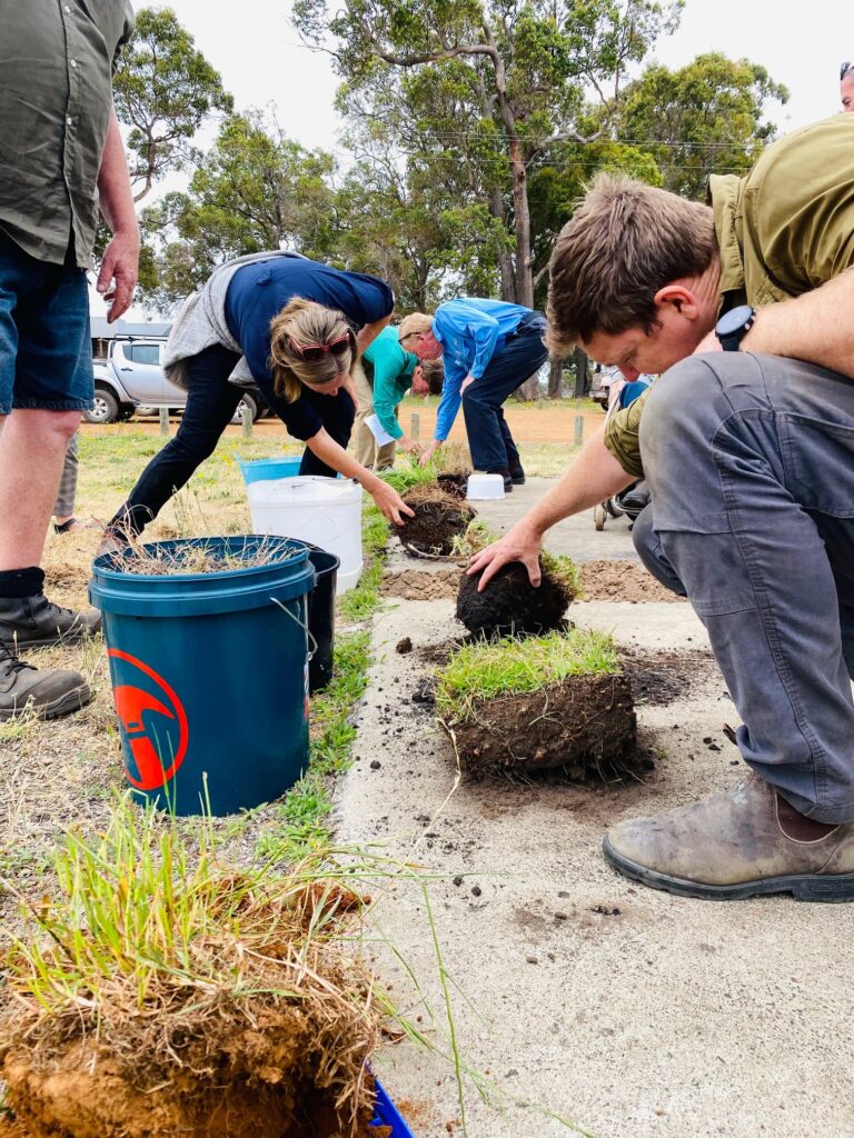
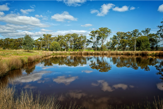
DWER Environmental Officer, Kelli O’Neill also gave participants a close look at the technology that is used to monitor the waterway, measuring water quality (with dissolved oxygen levels, salinity, and temperature) as well discussed other river condition indicators that are assessed like fringing vegetation. Quality habitat for aquatic fauna is so important for their health and survival. Steve Pursell from OzFish also attended the event and said, “As our climate here in the south west continues to dry in the future, deep water refuges like Canebrake will be vital habitats for healthy native fish populations”, said Steve Pursell.
Through the Healthy Rivers program, over 1000 assessment sites have been allocated across south west WA, with repeated assessments undertaken over time. Their work is vital in understanding how changes to our climate including reductions in rainfall and increasing temperatures can affect our river ecosystems, and what can be done to best protect and improve their health and the communities the rivers support.
To find out more about DWER’s Healthy Rivers program visit www.rivers.dwer.wa.gov.au or to get involved with GeoCatch on rivercare and farm nutrient management projects aimed at reducing nutrients leaching into waterways, go to geocatch.asn.au/farm-management/