Save the date for the inaugural Bay OK Native Open Gardens
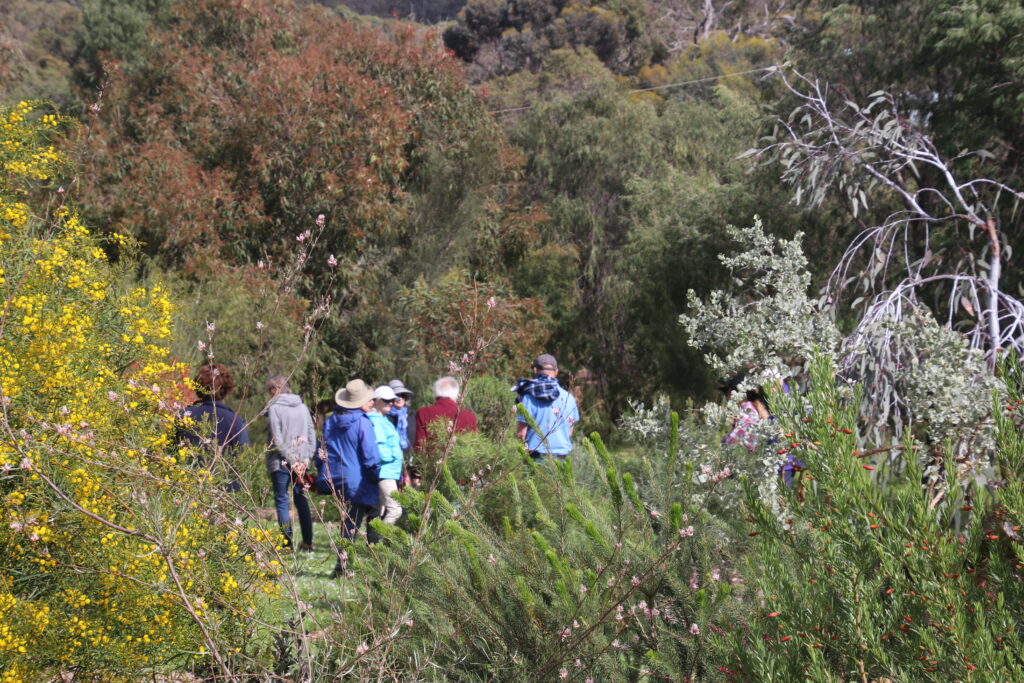
Step beyond the garden gate and be inspired at GeoCatch’s first Bay OK Native Open Gardens weekend in October this year.
Enthusiastic New Gardeners Starting Right in Busselton
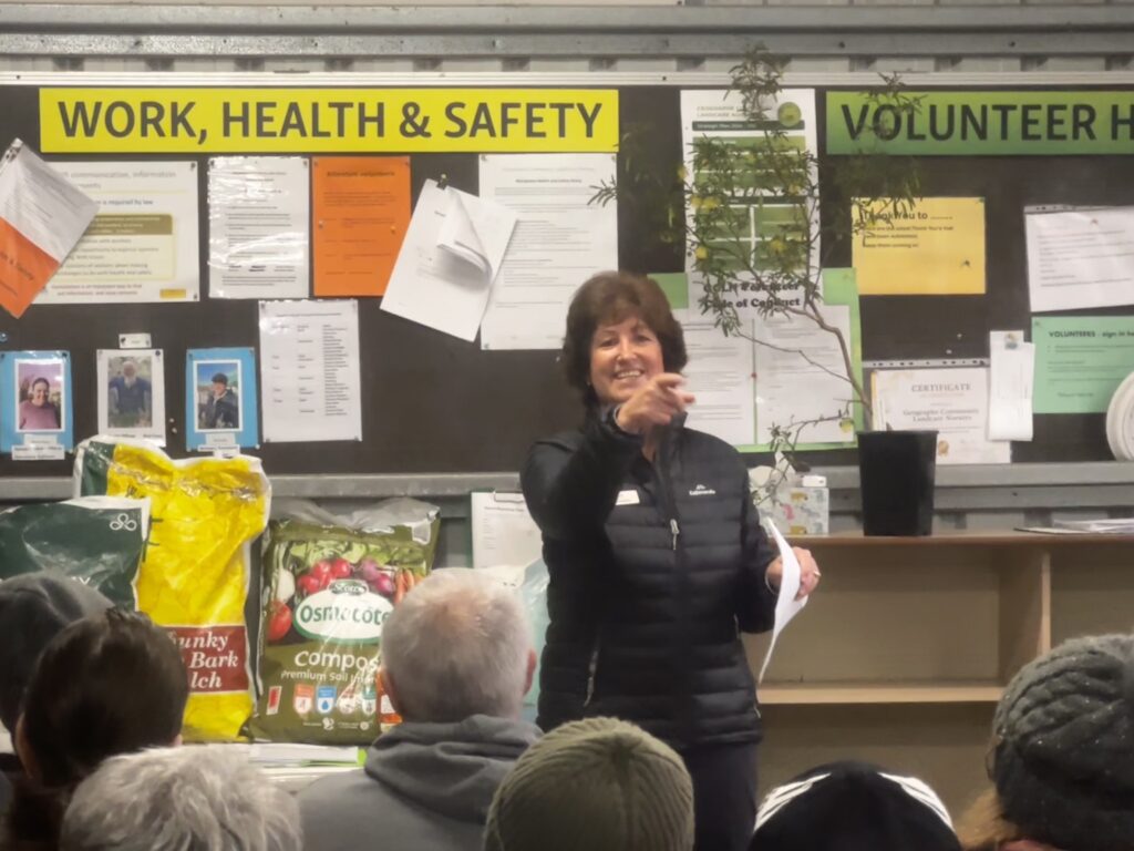
Homeowners new to gardening packed into the Geographe Community Landcare Nursery on Saturday morning, braving the winter chill to attend a hands-on beginners gardening workshop focused on native plants and soil health.
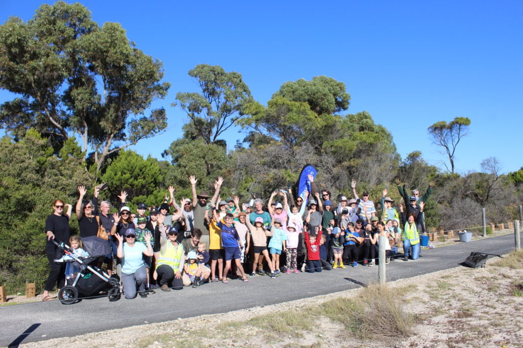
Community braves winter weather for Broadwater tree planting day
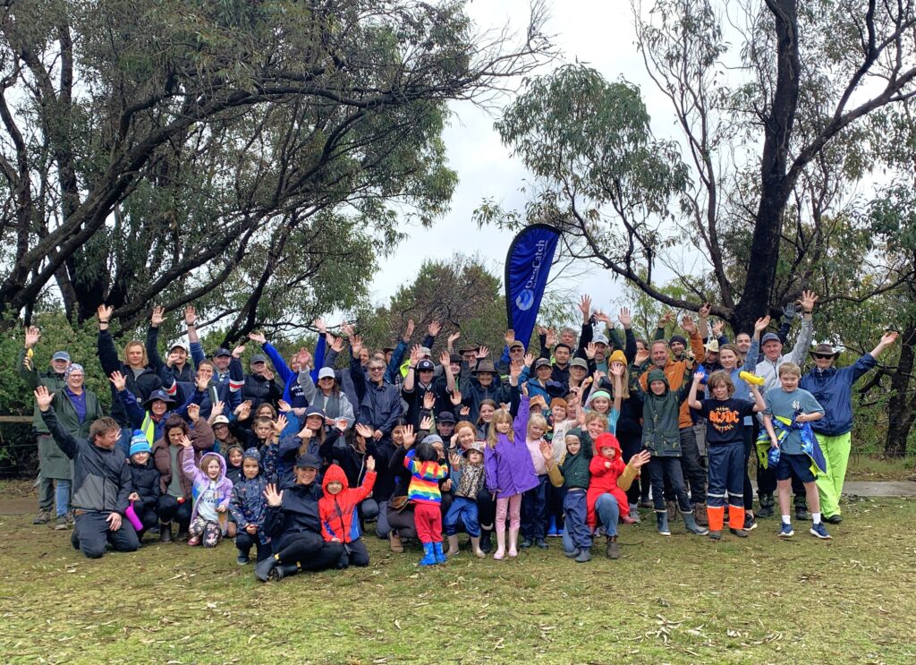
More than 80 community members braved wet winter conditions to take part in GeoCatch’s annual Community Tree Planting Day at Holgate Road foreshore in Broadwater on Sunday 14 June.
Community turns out to support Broadwater Wetlands biodiversity project
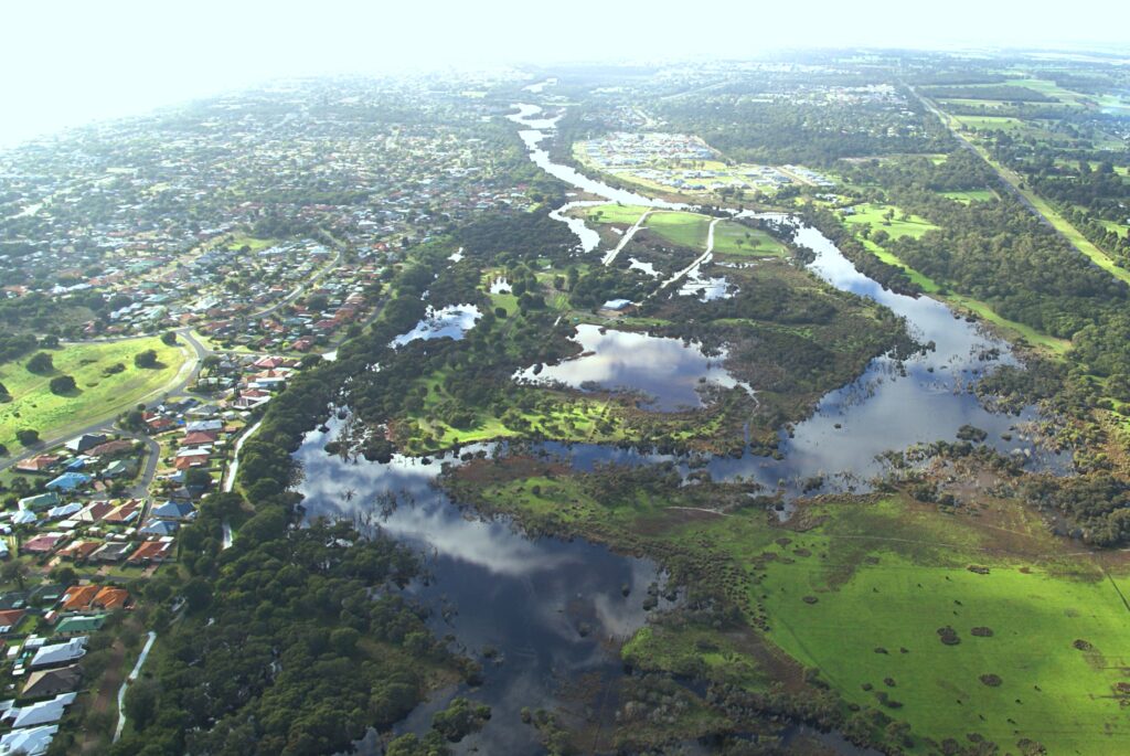
Local residents have shown a great interest in GeoCatch’s new three-year biodiversity initiative that aims to protect Broadwater Wetlands from the impacts of feral animals.
Strong Community Turnout for Vasse Wonnerup Wetlands Science Update
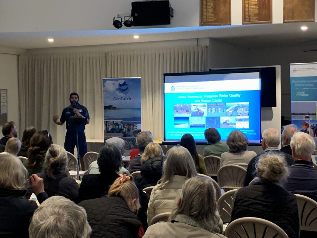
More than 70 community members attended a Revitalising Geographe Waterways (RGW) Community Science Update on Thursday 28 May.
Geographe Fertiliser Management Program Now Open for Farmers
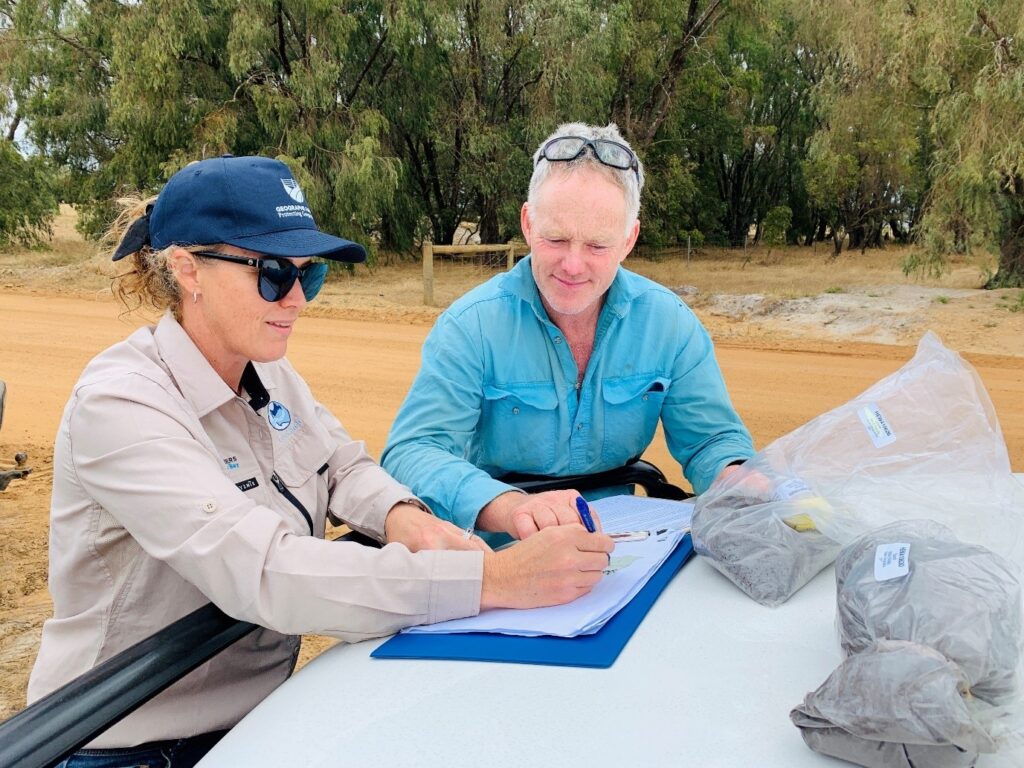
Expressions of interest are now open for grazing beef, dairy and sheep farmers across the Geographe catchment to take part in the 2026/2027 Geographe Fertiliser Management Program.
Join GeoCatch’s Community Tree Planting Day in June
Join our 2026 tree planting day on Sunday 14 June in Broadwater!
GeoCatch Launches New Biodiversity Project to Protect Broadwater Wetlands
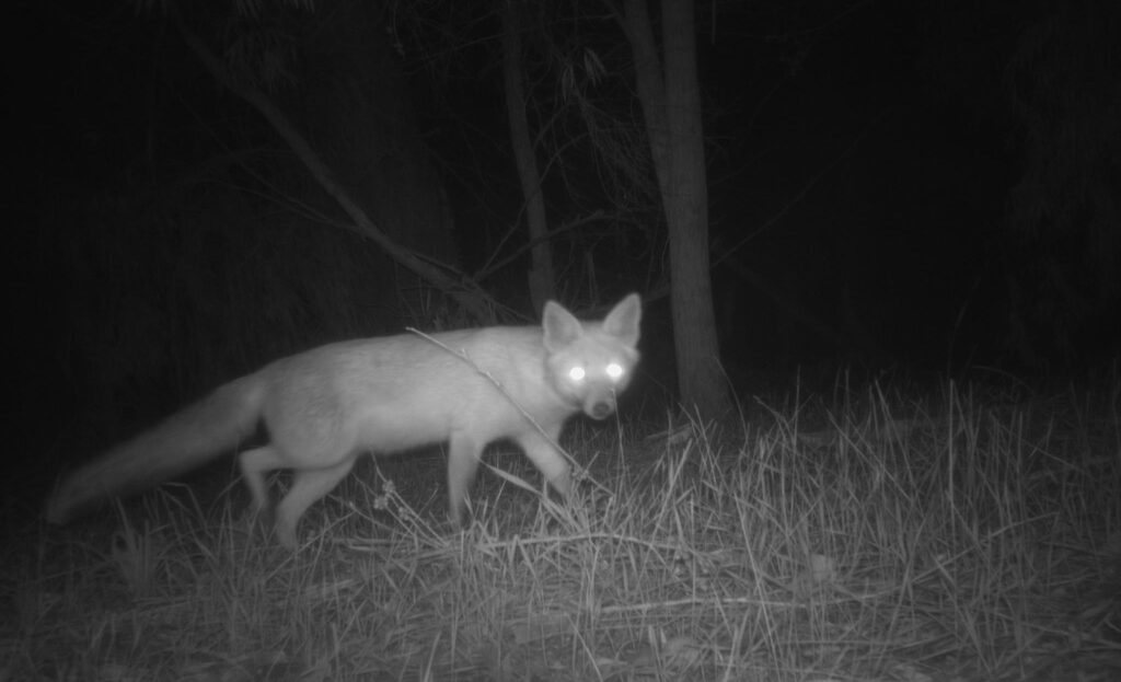
GeoCatch is inviting local residents around the Broadwater Wetlands to get involved in a new three-year biodiversity project.
Integrating Noongar cultural knowledge to manage fire on properties
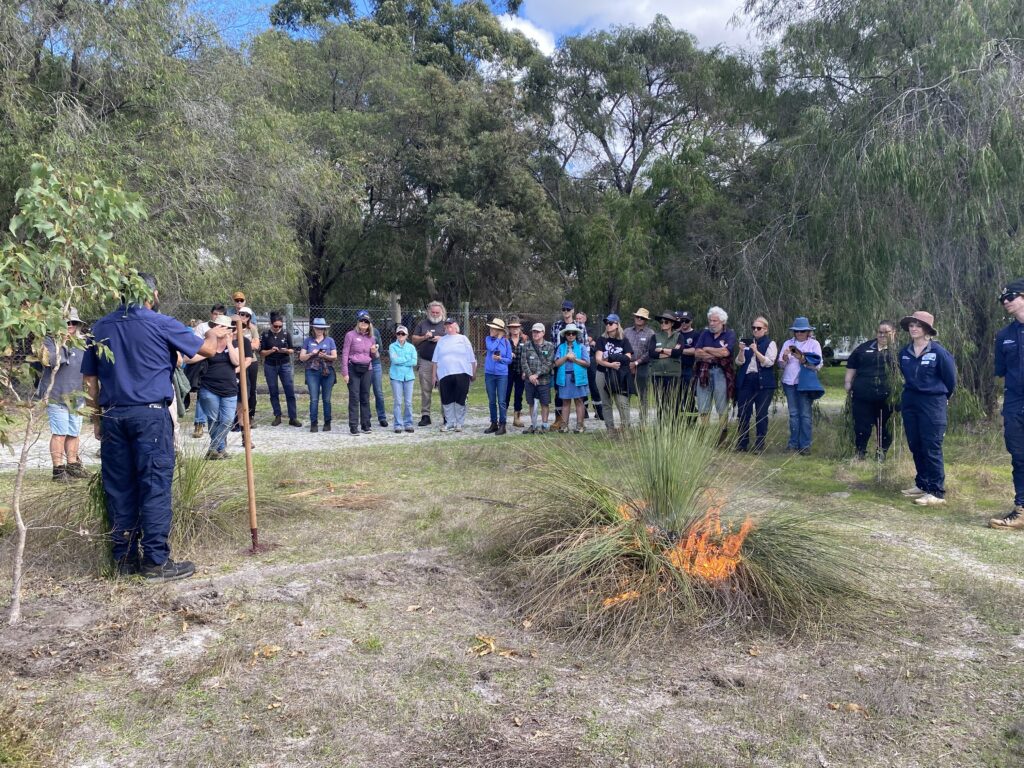
A sold-out GeoCatch workshop explored how Noongar cultural knowledge and contemporary fire science can work together to guide safe, effective fire management on farms and bushland.
Why Some Gardens Thrive — Even After a Long, Hot Summer
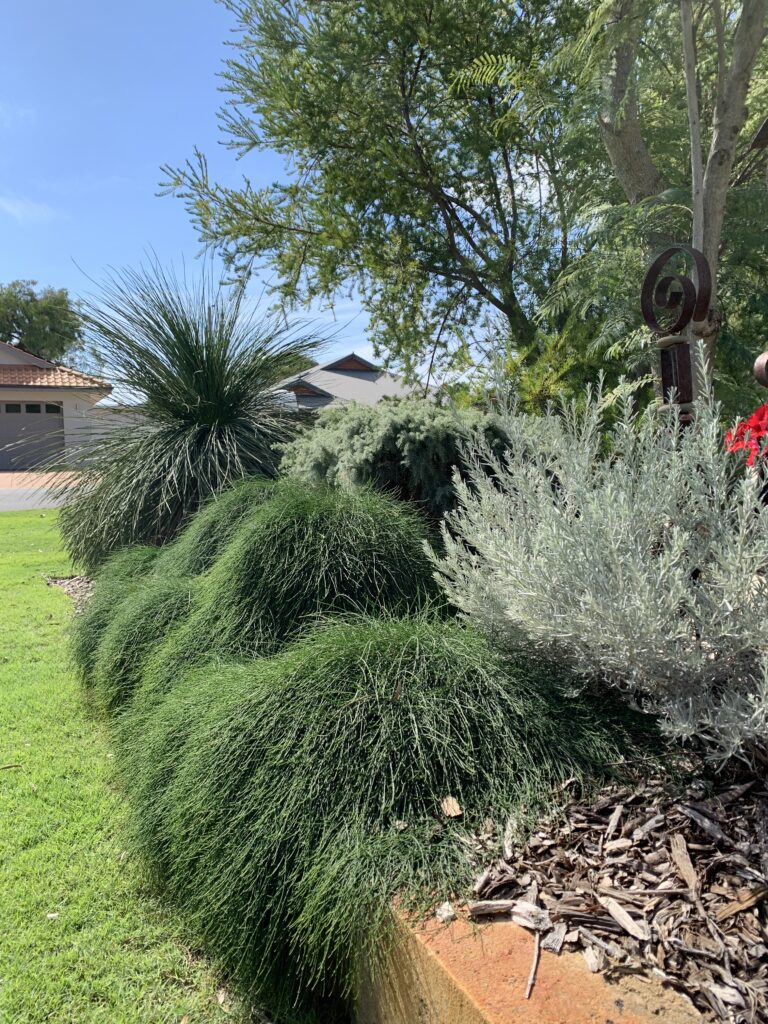
Have you noticed that some gardens seem to sail through summer looking green and healthy, while others struggle?

