Geographe Catchment
About the Catchment
The Geographe Catchment includes spectacular and diverse landscapes which are recognised internationally.
The Catchment is approximately 200,000 hectares and surrounds the iconic Geographe Bay, spanning from Dalyellup to Bunker Bay, and inland from Kirup to Wilyabrup.
It is bounded by the Darling Range, the Whicher Range and the Leeuwin-Naturaliste Ridge. The southernmost part of the Swan Coastal Plain, extending south and west to Dunsborough, lays below these ridges.
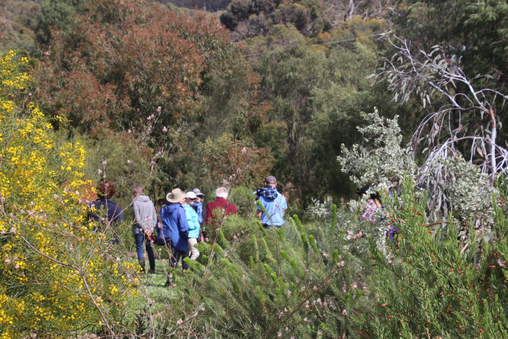
Nestled in a global biodiversity hotspot, our Catchment has a high number of rare and endemic plants and animals, and our waterways have significant ecological values, despite a history of modification for agriculture and urban development.
Sixteen sub-catchments flow into our most valued and iconic asset: Geographe Bay.
Explore Our Catchment
Use the interactive map to find out which sub-catchment you live in.
An icon of the South West
Geographe Bay
Characterised by clean white sand and calm turquoise waters, the Bay has significant cultural, recreational and ecological values. Vital to our local and state economy, the Bay is also enjoyed by thousands of international and domestic visitors each year.
The Bay is one of only a few sheltered north-facing marine embayments in Western Australia. It faces north and is protected from strong sea breezes and swells by Cape Naturaliste. The coastline is, however, particularly vulnerable to the effects of climate change. The low lying shoreline is susceptible to erosion caused by storm surges, high tides and rising sea levels.
The southern half of Geographe Bay from north of Busselton all the way to Flinders Bay near Augusta is included in the Ngari Capes Marine Park. The Marine Park was established to manage human activity in the area to preserve environmental, social and cultural values.
Seagrass
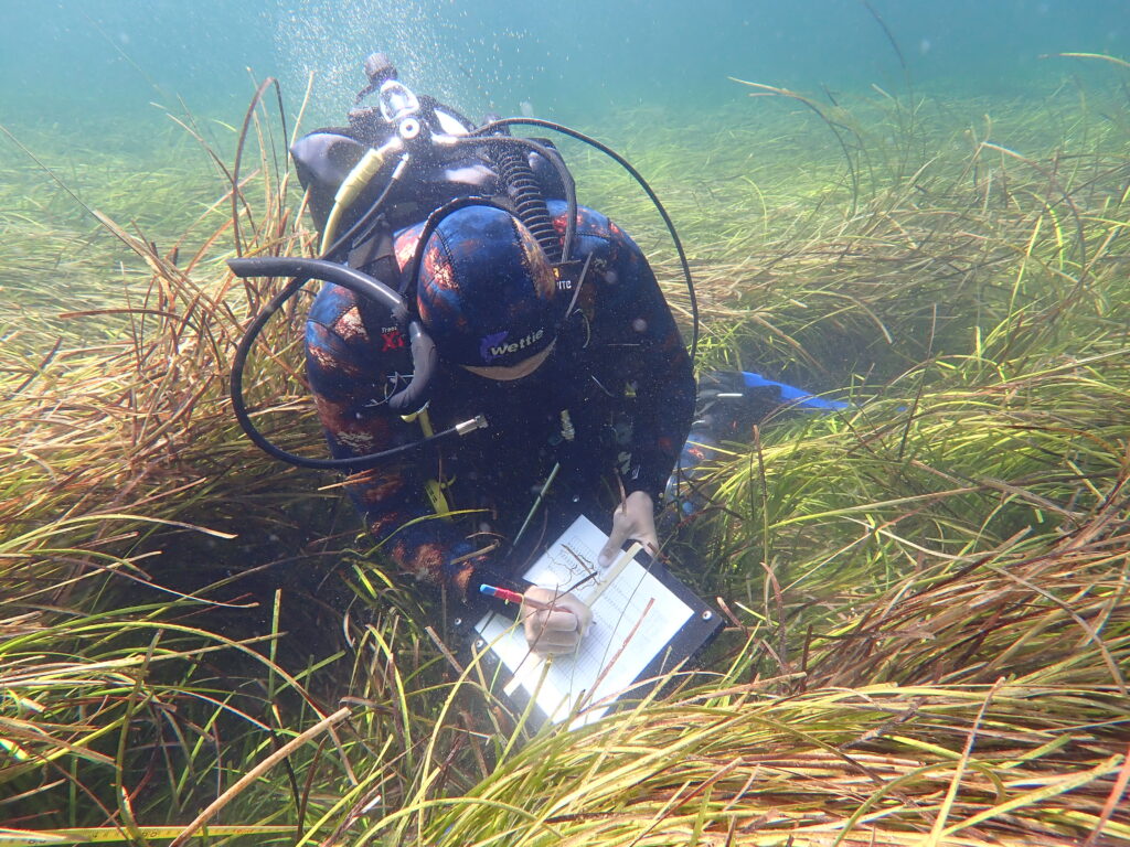
Geographe Bay is dominated by the second largest seagrass meadow in Western Australia. Seagrass meadows play a vital role in stabilising sediments within the Bay and provide critical habitat for more than 70 species of fish and other marine life.
A major threat to the health of our seagrass meadows is nutrient run-off from the Catchment. Excess nutrients promote algae growth, which can smother seagrass when in high concentrations.
Our annual seagrass monitoring program, Keep Watch, is a partnership with Edith Cowan University, Water Corporation and Department of Biodiversity, Conservation and Attractions, which monitors seagrass health and distribution at eight key sites.
An icon of the South West
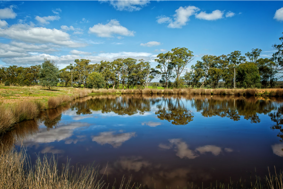
Wetlands and Waterways
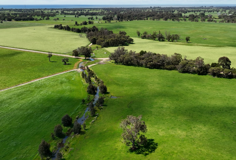
Waterways transform our Catchment each year as wetlands, creeks and river systems fill and empty with water.
The Carbanup, Buayanup, Lower Vasse, Sabina, Abba, Ludlow and Capel river systems support local biodiversity and are among 16 major water courses that flow into Geographe Bay. Urban wetlands provide a refuge for wildlife and migratory birds, and sustain a sense of place for our growing community.
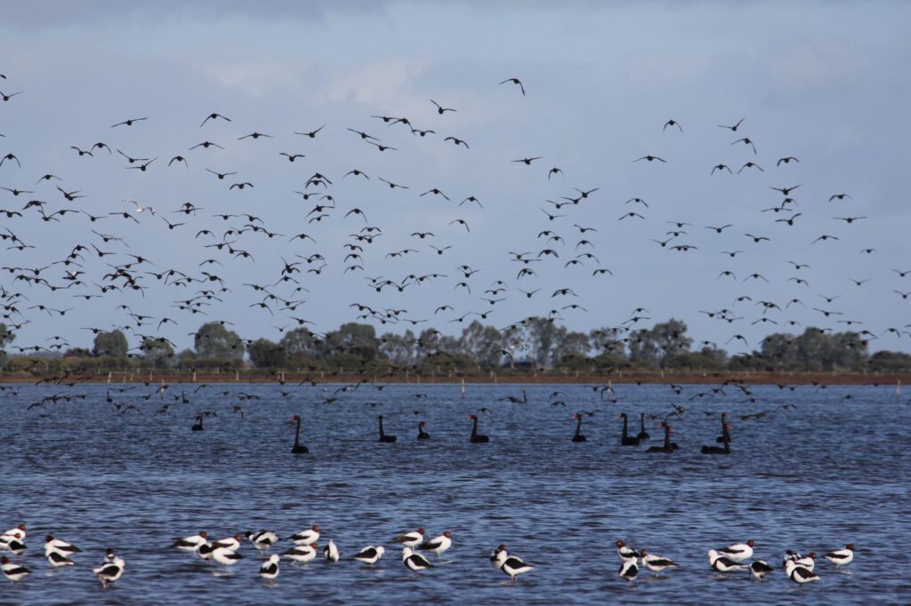
Vasse Wonnerup Wetlands
The Vasse Wonnerup Wetlands provide habitat for thousands of waterbirds every year and are recognised internationally under the RAMSAR Convention. The wetlands support over 90 species of waterbirds and have recorded over 30,000 of individual birds at any one time.
Modified Systems
Since European Settlement, our waterways have been modified and diverted to allow for agricultural and urban growth. Floodgates were installed near the mouths of the Vasse and Wonnerup estuaries during the early 1900s to prevent flooding of the surrounding agricultural land with saltwater. The floodgates have enabled the expansion of the Busselton town site and transformed our estuaries into more freshwater environments. As part of the flood mitigation for the Busselton townsite, the headwaters of the Vasse and Sabina rivers were diverted in the 1920s into the Sabina diversion and then the Vasse Diversion Drain following directly into Geographe Bay.
Most waterways in the Catchment used to feed into a chain of coastal wetlands or estuaries, however they now flow directly into Geographe Bay. As a result, the Vasse Wonnerup Wetlands now received around 20% of their pre-European freshwater flows.
Groundwater
Groundwater also flows from the Catchment into Geographe Bay. The superficial aquifer is approximately 10m thick and below this lies the Leederville aquifer, which in turn is underlain by the older and larger Yarragadee aquifer. Both the Leederville and Yarragadee are confined aquifers that are recharged by direct infiltration of rainfall on the Blackwood Plateau. The Capel River is the only perennial river system that intersects the Leederville aquifer; all other waterways receive contributions only from the superficial aquifer and surface runoff.
Our aim is to restore the ecological, cultural and community values of our iconic waterways. We work with our partners including farmers and the community, to prevent nutrients ending up in our precious waterways and Geographe Bay.
Agriculture
Geographe Bay is surrounded by productive, agricultural land that is dominated by dairy, beef and sheep grazing.
Agriculture is the biggest land use in the Catchment. Close to a quarter of WA’s dairy farms are located here, making it an important local and state industry.
Viticulture has expanded in the western part of the catchment, while intensive horticulture such as potato growing and avocados is also expanding.
Management of soils are key to sustainable agriculture, particularly in the free-draining, sandy soils on the Swan Coastal Plain. Reducing nutrients leaving farms by improving fertiliser and dairy effluent management is an important component of sustainable agriculture and a major opportunity to improve water quality and support biodiversity on farming enterprises in our Catchment.
History of the Region
The Wadandi, or saltwater, people are the traditional owners of the land between Bunbury and Cape Leeuwin, as far inland as Nannup. The Wadandi people have a strong connection with the coast and moved across the land in nuclear families, or larger bands, coming together for social and ceremonial purposes that coincided with the availability of food sources.
Early settlers
French explorers came to Geographe Bay aboard the ships Naturaliste and Geographe in 1801. English settlement began in the 1830s when settlers such as the Molloy, Bussell and Layman families established farms in the Vasse River area, while the Chapman family settled the Bunker Bay area.
Industry
These early settlers grew wheat, barley and oats, and raised livestock such as sheep, pigs and cattle, and began exporting as early as 1858.
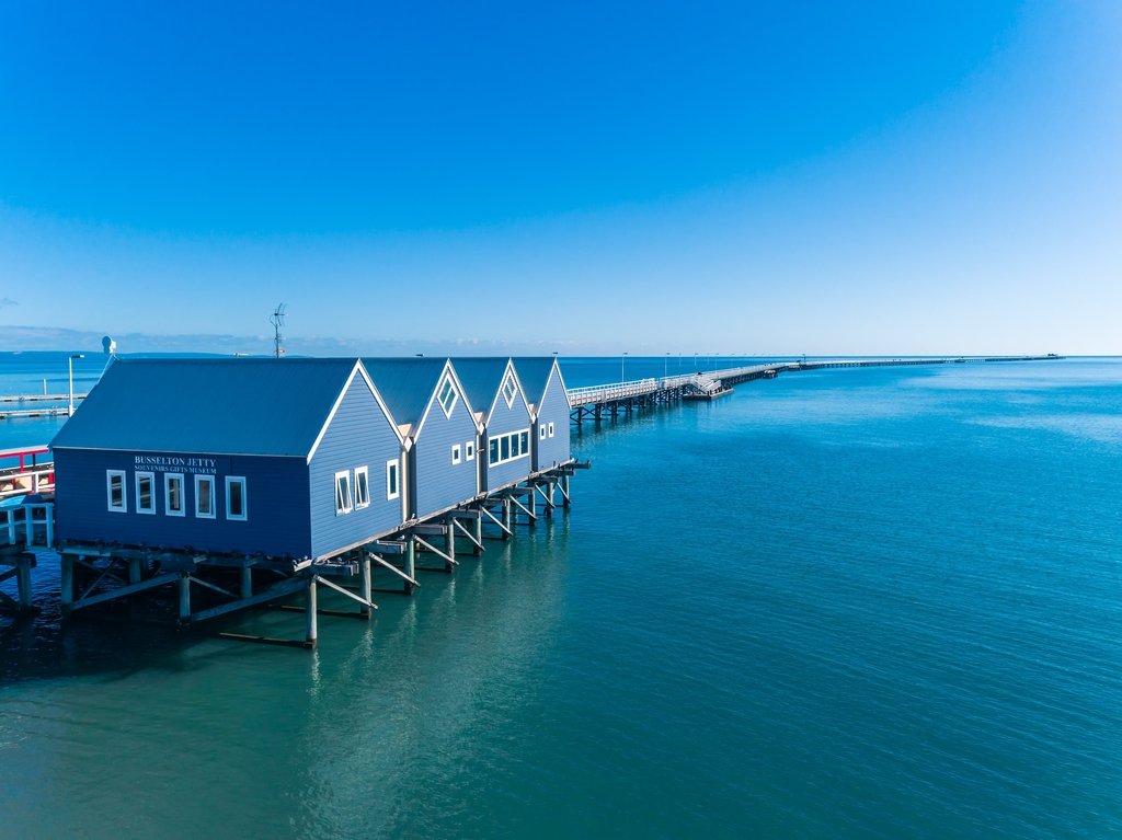
Fishing also became an important local industry. Whaling was undertaken out of Castle Bay for almost 30 years up until 1872. A timber industry was established and a mill built at Quindalup. The industry boomed when port facilities became available after the Busselton Jetty was constructed in 1864, and this supported steady population growth in the area through to the early 1920s.
The dairy industry began in the 1920s when the British and Western Australian governments jointly formed the Group Settlement Scheme. Despite the scheme failing to achieve greater growth in the area, it opened up land for further agricultural development through land clearing and extensive drainage works.
Today agriculture still dominates the Catchment’s land area, with the urban areas of Busselton, Dunsborough and Capel supporting busy commercial and industrial sectors.
The unique landscapes and coastline of the Geographe Bay Catchment also support a thriving tourism sector, as does the number of regional events and recreational opportunities that the region offers. Urban development continues to increase as ‘sea-changers’ move to the area.
WHATS BEEN HAPPENING IN THE CATCHMENT?
News & Stories
UPCOMING EVENTS – COME SEE WHAT’S ON...
Events & Workshops