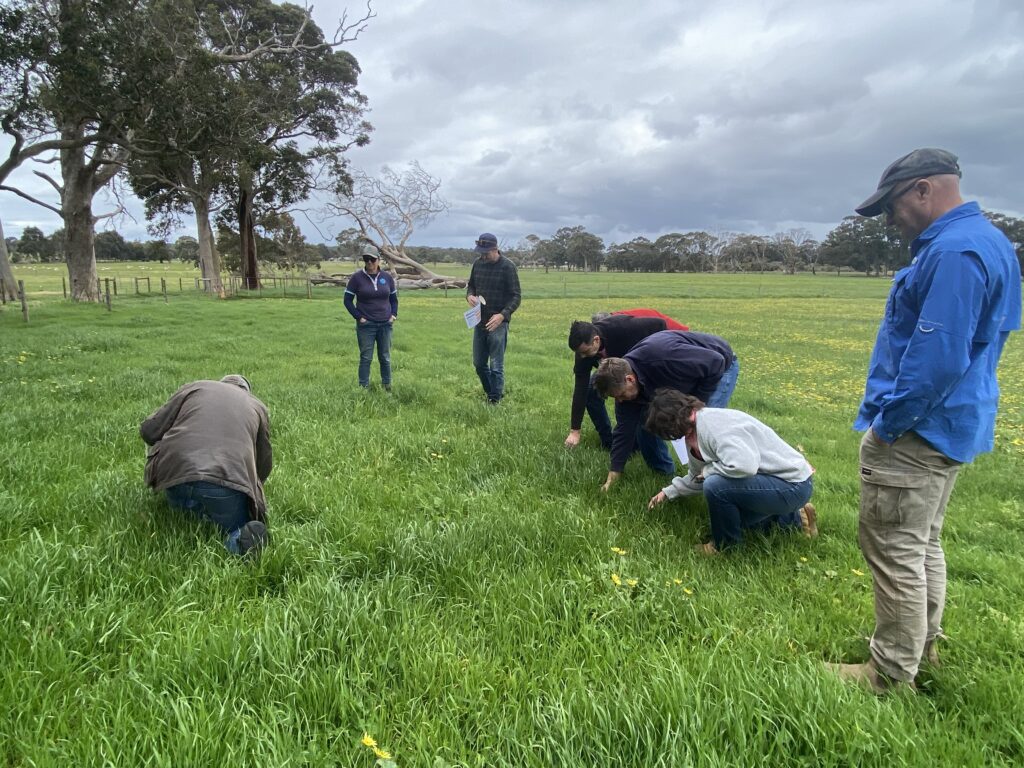
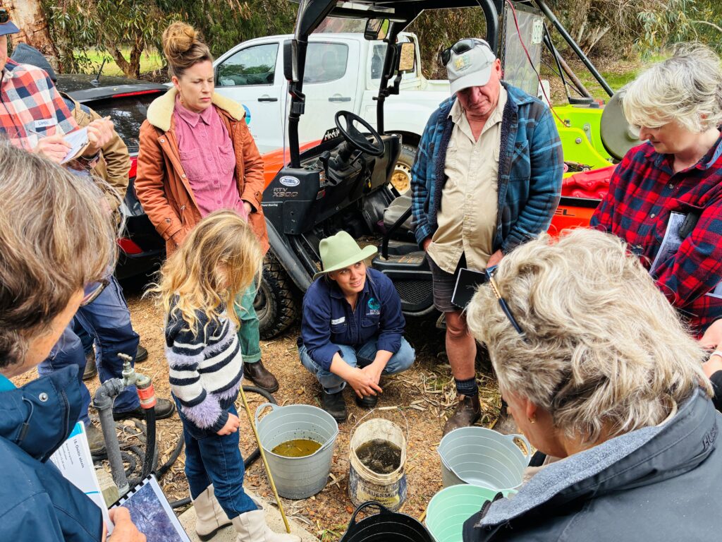
GeoCatch supports farmers in adopting best-practice fertiliser management to boost productivity and profitability — while protecting the health of local waterways. It all begins with comprehensive soil testing, helping farmers make informed decisions about nutrient use tailored to their land.
Over the past decade, more than 50% of farming land in the Geographe Catchment has been soil tested through a successful partnership with the Department of Primary Industries and Regional Development (DPIRD). These results have helped guide smarter fertiliser use and reduce nutrient runoff into local estuaries.
The Geographe Soil Testing Program is delivered as part of the WA Healthy Estuaries Program.
The Geographe Soil Testing Program aims to support farmers to make informed fertiliser decisions to ensure nutrients stay on the farm and out of waterways and estuaries.
Soil testing has given hundreds of Geographe farmers the confidence to target their fertiliser applications and work towards improving farm productivity, cut unnecessary fertiliser inputs as well as reducing excess entering waterways.
Nutrient Best Management Practices (BMPs) and Nutrient Plans
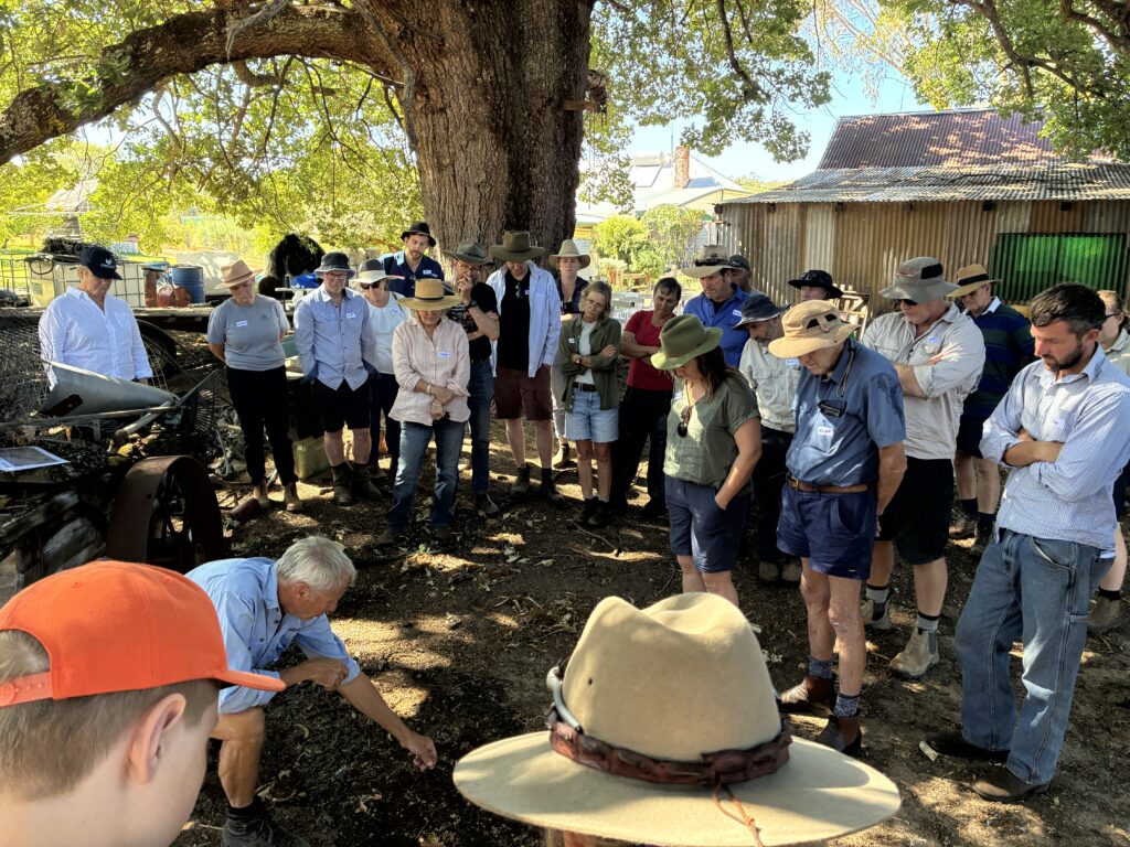
The BMPs were developed to provide south-west beef, sheep and dairy farmers with clear and practical advice to optimise farm nutrients and reduce impacts to the environment, all the while maintaining a productive and profitable enterprise.
The guidelines, launched in August 2022, were developed with input from local farmers, fertiliser and grazing industries, scientists, agronomists, and catchment groups. They follow internationally recognised nutrient principles of applying fertiliser: the right source, the right rate, right time, and right place, and provide additional information for farmers on how to meet best practice and why its relevant to the south-west grazing industry.
With assistance from GeoCatch, farmers can benchmark their farming practices against the BMPs, and eventually will be able to see how they perform, compared with averages across the south-west. The benchmarking is an important aspect of the BMPs for farmers to demonstrate sustainability and improvements over time.
How does your farm compare against best practices?
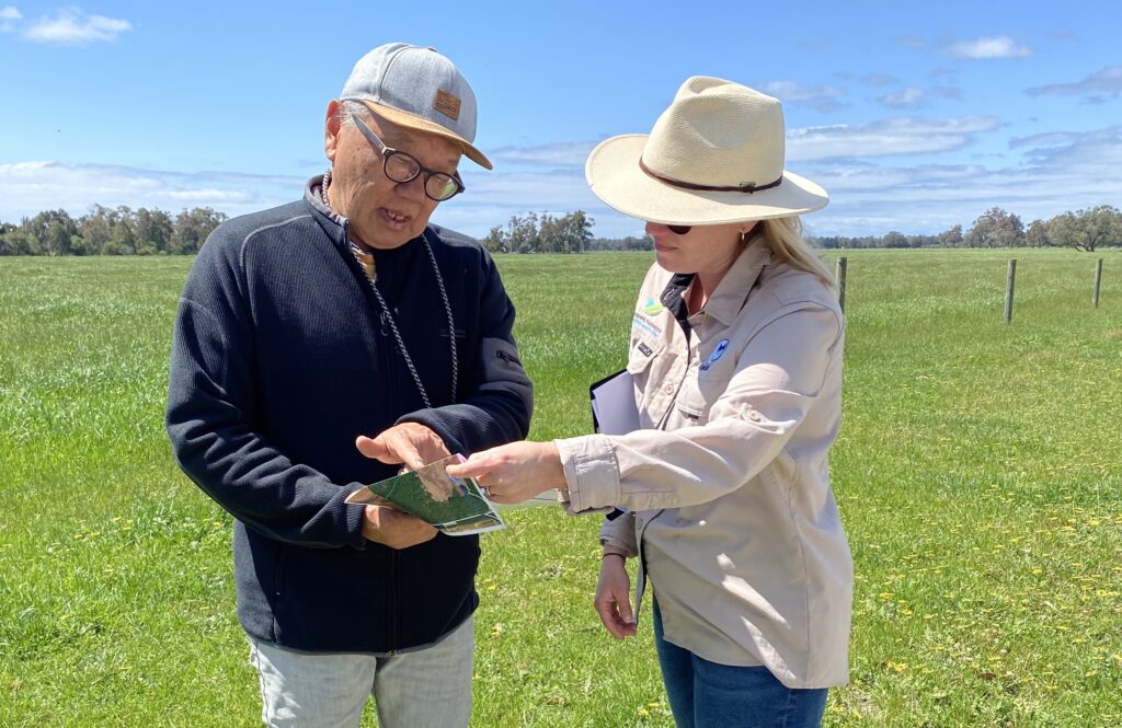
We’re here to support you in aligning your nutrient management with best practice. GeoCatch can work with you to bring together your farm’s nutrient information into a BMP Nutrient Plan — a practical document that reflects your goals and vision, and offers clear, achievable recommendations to guide your nutrient management into the future
Ready for a free Nutrient Plan tailored to your farm? Get in touch and we’ll get started.
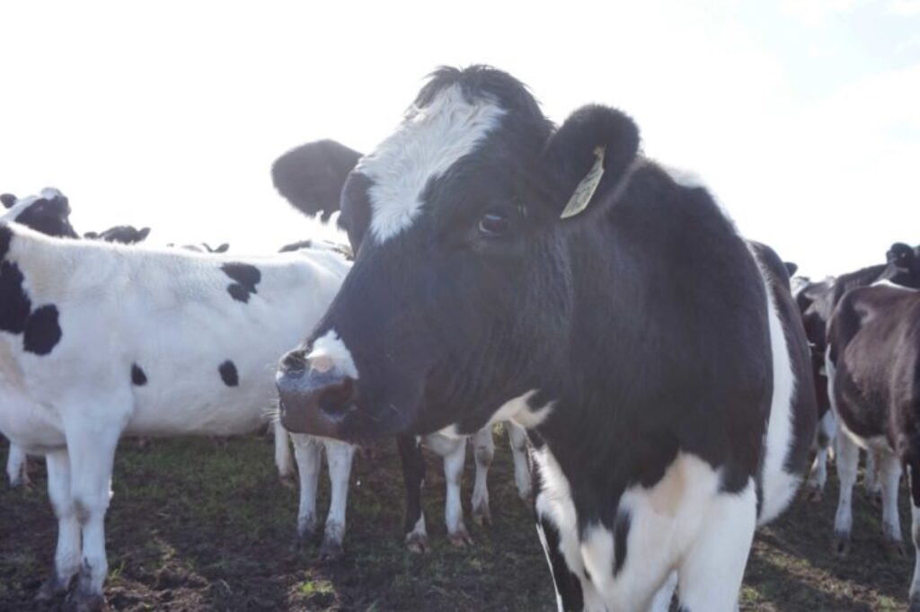
GeoCatch works with dairy farmers in catchment to support sustainable and productive farm management. Through tailored nutrient planning, soil testing, and best practice guidelines, dairy producers can improve pasture performance, reduce nutrient losses, and protect local waterways.
Support is available through the WA Healthy Estuaries program, helping farmers access expert advice and practical tools to manage nutrients effectively.
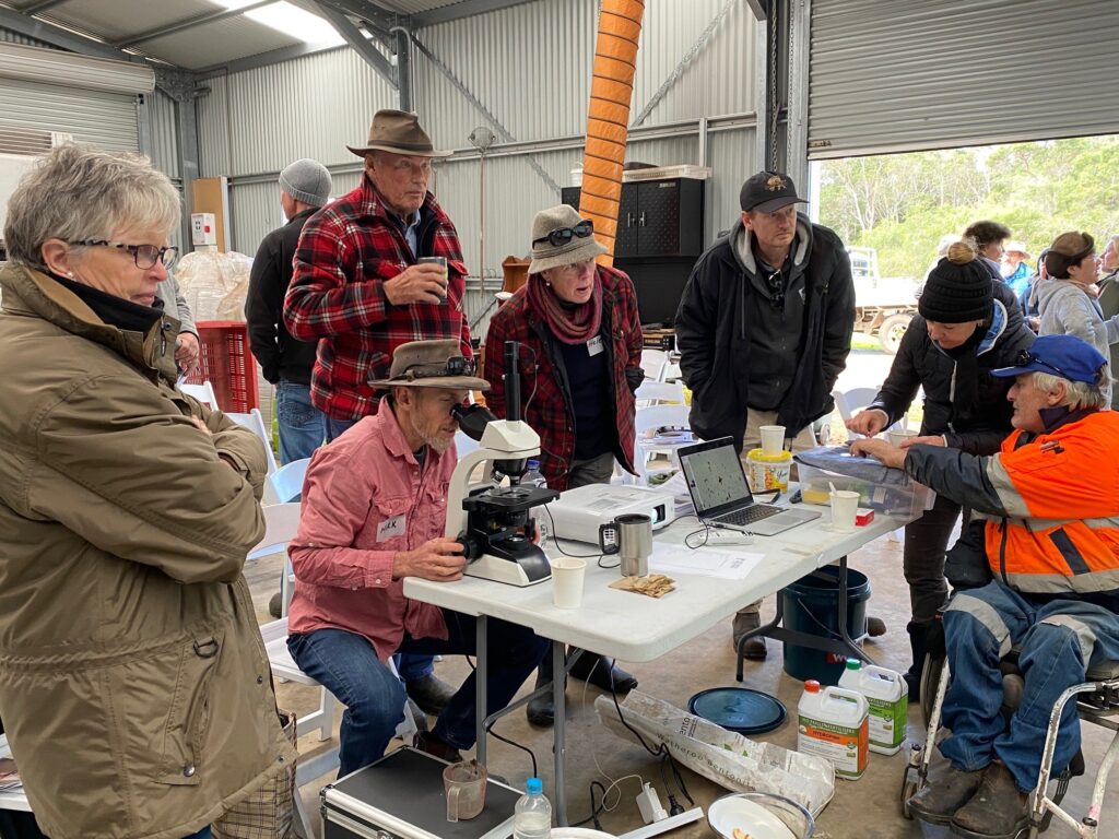
uPtake was a partnership project designed to improve nutrient use efficiency on grazing farms in the South West by improving farmer and industry knowledge, confidence and uptake of the science supporting fertiliser recommendations.
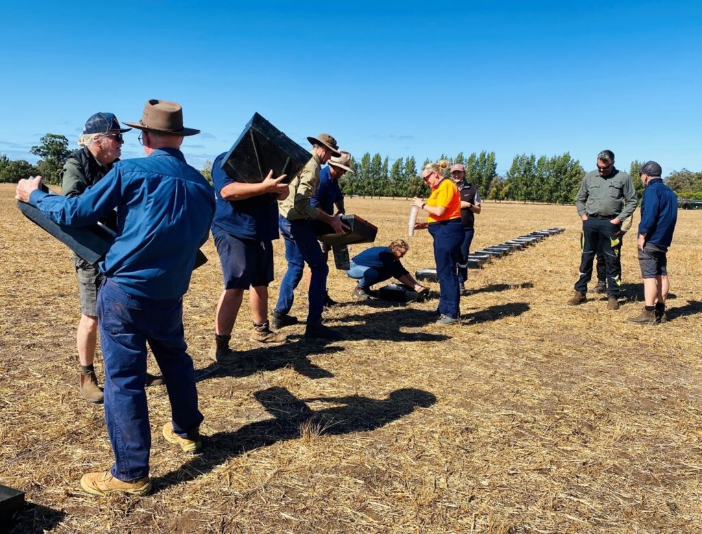
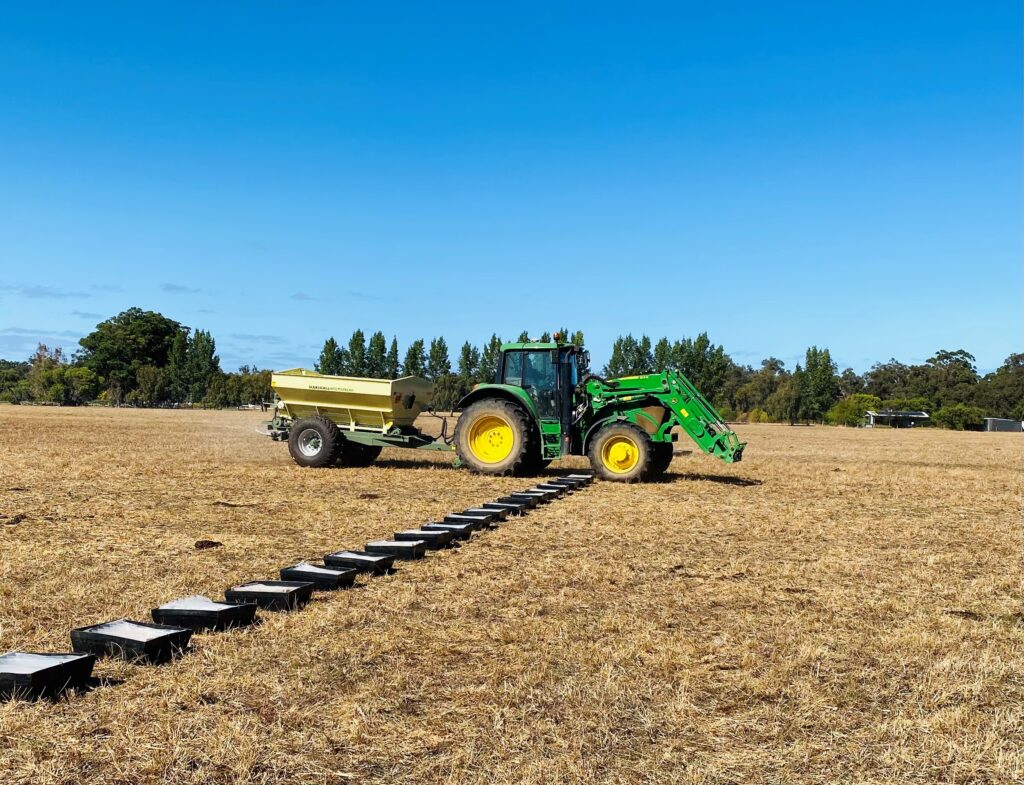
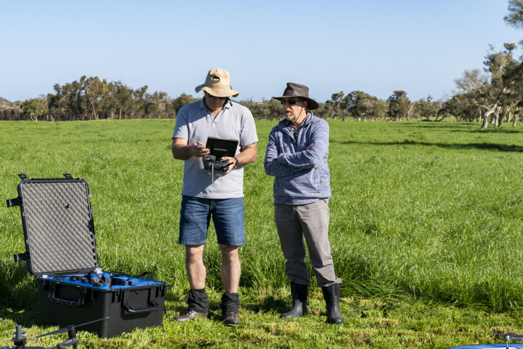
A total of 36 fertiliser trials were established in partnership with industry, catchment groups and farmers across the South West over a range of soil types with contemporary pasture species to develop phosphorus (P) response curves. The project trialled innovative technologies to provide rapid feedback on pasture growth and soil nutrient status including drones, near infrared and X-ray fluorescence.
The Nutrient Best Management Practices were developed with funding from the State Government’s Healthy Estuaries WA program and through the Australian Government’s National Landcare Program.
Beyond soil testing
Ten case study farmers were supported, as part of the Fertiliser Best Practice project from 2017 to 2019, to change their fertiliser practices following whole-farm soil testing of their property.
These farmers received additional soil and tissue testing, as well as one-on-one advice from a Fertcare Accredited Agronomist, which included the development of an annual fertiliser plan. They have shared their stories of change to support other farmers and practitioners working with the farming sector.