A Coordinated Effort

Protecting the Broadwater Wetlands from Feral Animals

/
/
Protecting the Broadwater Wetlands from Feral Animals

Share your insights!

We are gathering community input from residents in the area to find out if you are seeing or experiencing the impacts of rabbits, foxes and feral cats, either on your property or in the wetland reserve and surrounds. Please take a few minutes to complete our survey by Friday 31st July and you could win a $100 gift voucher from Geographe Landcare Nursery or a GeoCatch gift pack!

Complete the survey

Get involved in citizen science

About our Project

Protecting the Broadwater Wetlands from Feral Animals is a three-year State NRM‑funded project running from 2026 to end of 2028.

The project aims to identify, monitor and reduce feral animal populations that threaten the ecological and cultural values of the Broadwater Wetlands and surrounding areas.

GeoCatch is seeking to involve the community as part of a coordinated effort to manage feral animals (rabbits, foxes and feral cats) both within and around the Broadwater Wetlands.

Get Involved

We are looking for participants who live within the Broadwater/Vasse area in close proximity to the Broadwater Wetlands to get involved in the program in the following ways:

Eyes on the ground

  • Animal monitoring opportunities – host a wildlife sensor camera on your property to help identify the presence and activity of feral animals*
  • Feral Scan – report feral animal sightings via this app

Reducing impact

  • Receive a free feral animal management plan designed by experts in the field, tailored to your property.
  • Opting for a visit from a licenced pest controller to conduct fox and feral cat trapping on your property (at no cost)*. Capped at 10 properties per year.
  • Access to subsidised Rabbit Calicivirus (RHDV) release for residents in the Geographe Bay catchment

Attend events

  • Community workshops will come up throughout the program, such as wetland walks, fox and feral cat control workshops and end of year updates. Keep an eye out for future events on our Events page.

*Subject to property suitability

Broadwater Wetlands

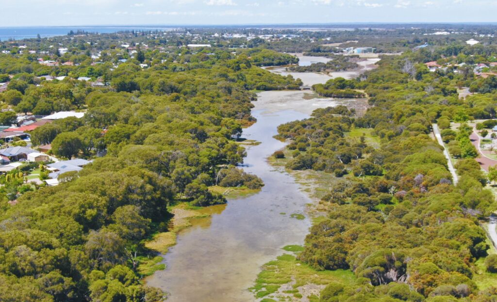
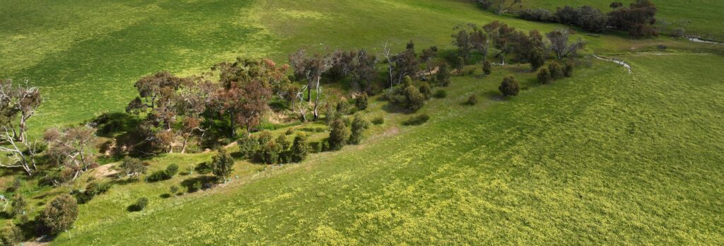
Broadwater Wetlands forms part of a chain of coastal wetlands called the Busselton Wetlands that stretch approximately 25 kilometres east and west of Busselton along Geographe Bay. The wetlands is recognised for supporting nationally and internationally significant numbers of waterbirds.

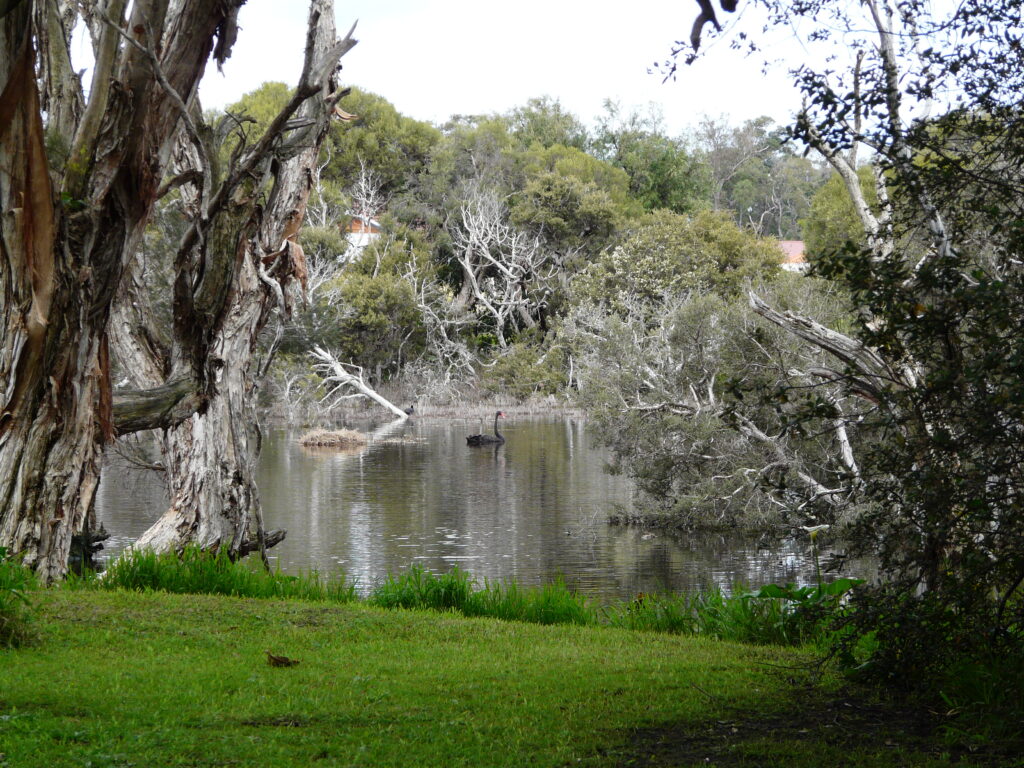
The Broadwater Wetlands provide essential habitat for:

  • A wide variety of waterbirds, including migratory, resident and breeding species, such as the Black‑winged Stilt (Himantopus leucocephalus)
  • Frogs, reptiles and small mammals that rely on wetland and fringing vegetation for shelter and food, such as the Motorbike Frog (Litoria moorei) and Slender Tree Frog (Litoria adelaidensis)
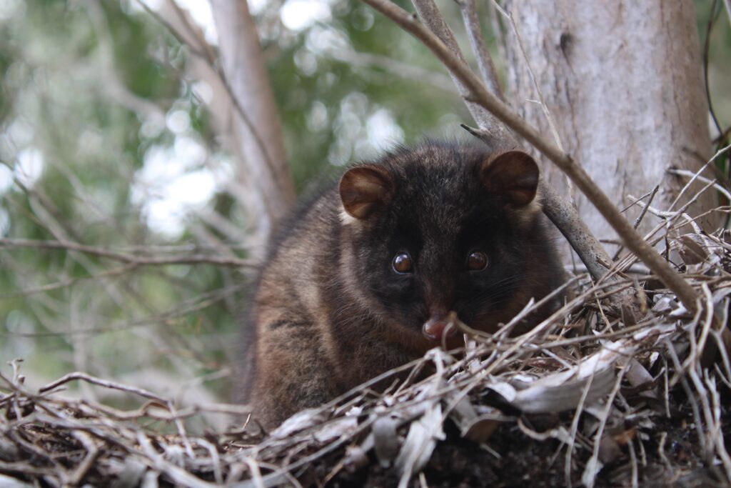
  • Species of conservation significance, including the endangered Western Ringtail Possum, which uses surrounding vegetation and habitat corridors.

Feral Animal Impacts

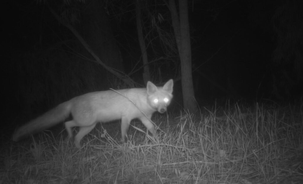
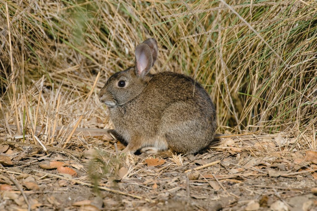
Feral animals such as feral cats, foxes and rabbits pose a significant threat to the health and biodiversity of the Broadwater Wetlands. Feral cats and foxes are highly effective predators that prey on native wildlife including waterbirds, frogs, reptiles and reducing the populations of small mammals. Rabbits, while not predators, cause widespread damage through overgrazing and burrowing, which removes native vegetation, increases erosion and reduces shelter for wildlife.

These combined impacts degrade wetland habitats which makes native species more vulnerable and undermines restoration efforts. In a small and highly valued wetland system like the Broadwater Wetlands, unmanaged feral animals can have long‑lasting impacts, making coordinated and effective feral animal management essential.

Photo credit: Leschenault Biosecurity Group Inc

Contact Us

Interested in volunteering or receiving updates about this project?

Please get in touch with GeoCatch Project Officer Kim Loveridge by email kim.loveridge@geocatch.asn.au or call 0491 069 078 and we will add you to the email list.

This project is supported by funding from the Western Australian Government’s State NRM Program.

UPCOMING EVENTS – COME SEE WHAT’S ON...

Events & Workshops

Find out how strategically integrated trees can support livestock health and welfare, farm productivity, soil and water management, and long-term landscape resilience.
Sustainable Agriculture
Aug 6, 2026
Learn how to enhance your farm dam and plant shelter belts
Sustainable Agriculture
Aug 8, 2026
Whether you’re caring for a small bush block or a large rural property, gain valuable insights into managing Dieback and safeguarding the health of your local environment.
Sustainable Agriculture
Aug 18, 2026

WHATS BEEN HAPPENING IN THE CATCHMENT?

News & Stories

GeoCatch launches new ‘Restoring Our Waterways’ video series to support landholders

Our new nine‑part video series, Restoring Our Waterways, helps landholders plan and carry…
News, Sustainable Agriculture
Jul 23, 2026

Boost Farm Biodiversity and Productivity

Local landholders looking to improve the health, productivity and biodiversity of their properties…
Sustainable Agriculture
Jul 22, 2026

Trees that Work: National agroforestry expert Rowan Reid to lead exclusive two-day South West course

Farmers, landholders and rural professionals will have the opportunity to learn from one…
Sustainable Agriculture
Jul 15, 2026

Related Projects

Help with the survival of our Western Ringtail possum.
Caring for your waterways has many benefits.
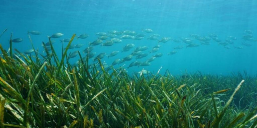
Monitoring seagrass in the Geographe Bay reveals important information.
Keeping pets and native wildlife safe in our Catchment.
Your dog can live in harmony with possums.
About GeoCatch

Find out how we work with farmers, the community and our partners.

Geographe Catchment

Discover what makes our Catchment unique.

Catchment Map

Explore your catchment area and its waterways using our interactive map.

Subscribe To Our Newsletters

"*" indicates required fields

I'm interested in*