Stirling wetland neighbours to plant 2560 trees

September 25, 2023

/
/
Stirling wetland neighbours to plant 2560 trees
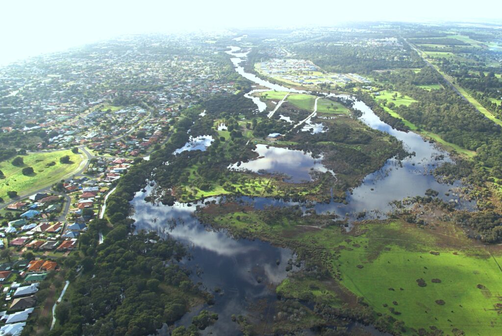
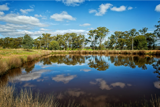
The Stirling wetlands, between Busselton and Capel, are home to a vast array of water birds, insects, and remnant vegetation.
 
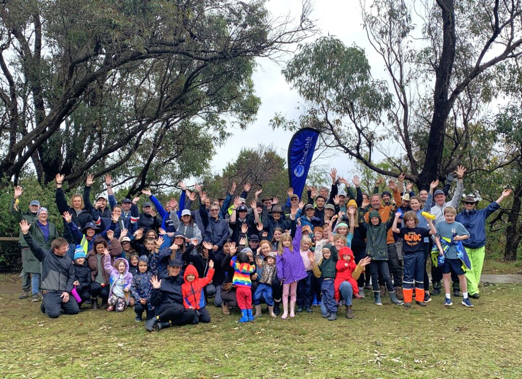
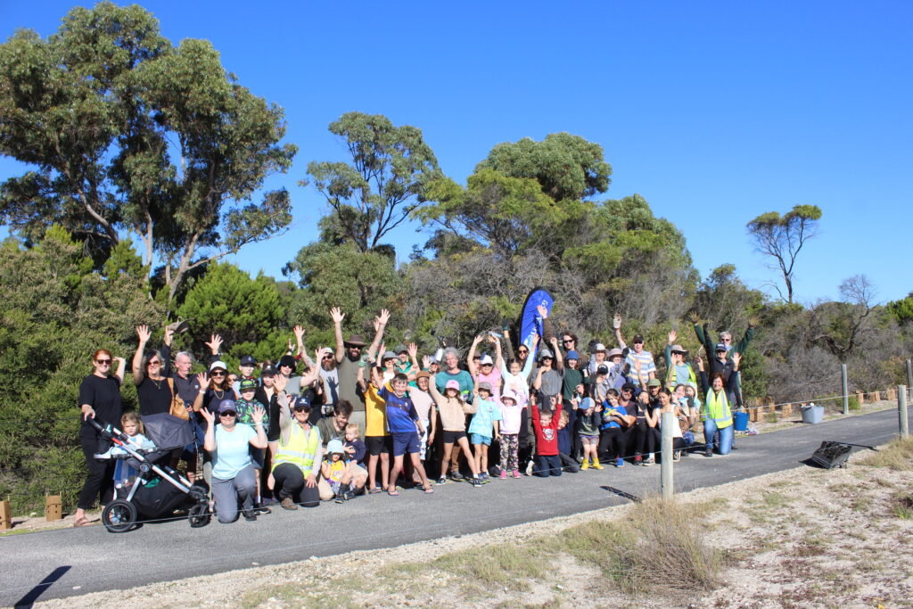
The wetlands cross multiple private properties, and now six neighbours have come together to reconnect remaining wetland habitat areas. To date, 1.5km of stock exclusion fencing is planned for installation to protect 2560 new seedlings.
 
As the inundation recedes this winter, landholder Paul Mutton has begun springtime planting across his wetland property. GeoCatch project officer Michelle Hughes explained the excitement around planting in the wetlands.
 
“Until now, the winter water levels have been too high to plant anything. As the water levels start to recede, we gain access to some wetland refugia sites that will soon reconnect with native vegetation and provide ecological linkages across multiple properties,” said Michelle.
 
This project is supported by funding from the Western Australian Government’s State Natural Resource Management Program.
 

Related News

More than 80 community members braved wet winter conditions to take part in…
News, Protecting Biodiversity
Jun 18, 2026
Local residents have shown a great interest in GeoCatch’s new three-year biodiversity initiative…
News, Protecting Biodiversity
Jun 15, 2026
Join our 2026 tree planting day on Sunday 14 June in Broadwater!…
Protecting Biodiversity, News, Urban Environment
May 25, 2026

UPCOMING EVENTS – COME SEE WHAT’S ON...

Events & Workshops

Get soil health savvy! Measure, monitor and manage your own property.
Sustainable Agriculture
Jul 6, 2026
Learn how to enhance your farm dam and plant shelter belts
Sustainable Agriculture
Aug 8, 2026
The Dieback Information Group Conference is back!
Sustainable Agriculture
Sep 8, 2026
About GeoCatch

Find out how we work with farmers, the community and our partners.

Geographe Catchment

Discover what makes our Catchment unique.

Catchment Map

Explore your catchment area and its waterways using our interactive map.

Subscribe To Our Newsletters

"*" indicates required fields

I'm interested in*