GeoCatch has finalised the results of its 2025 Ringtail Tally, marking a significant milestone, the tenth annual possum tally completed since the project began in 2016.
Over four weeks, community participants reported 965 possum sightings in gardens and backyards across Busselton and Dunsborough, with 204 identified as individual animals. Of the 56 sites surveyed, an impressive 91 per cent recorded the presence of the critically endangered Nguraren (Western Ringtail Possum).
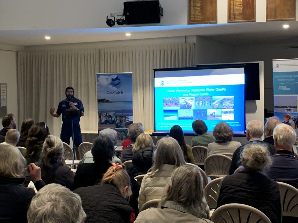
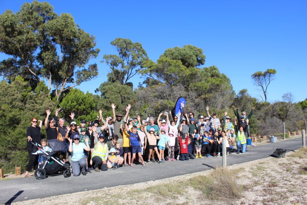
Community participation in the citizen science project continued to grow in 2025, with 56 residents across the Geographe catchment taking part. This year’s tally also welcomed enthusiastic students from Georgiana Molloy Anglican School, highlighting the project’s strong educational and community engagement benefits.
While the tally provides valuable insights into possum populations, the long-term data also reveals some sobering statistics. Between 2016 and 2023, there were 450 reported western ringtail possum deaths, with 64 per cent caused by vehicle strikes. Predation by domestic cats and dogs also remains a significant threat.
The annual Ringtail Tally plays a vital role in improving understanding and awareness of critically endangered western ringtail possums living in urban areas. The data collected helps track population trends, informs future planning decisions, and guides conservation efforts across the region.
GeoCatch Project Officer Nicole Lincoln said pet owners can play an important role in protecting the species.
“Backyards are an important habitat for the survival of the western ringtail possum,” Ms Lincoln said. “However, encounters with pet cats and dogs can be devastating. Keeping pets indoors at night and considering options such as catios which allow cats outdoor access while keeping wildlife safe can make a real difference.”
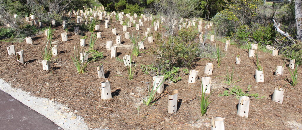
Community members can also help protect these unique marsupials by protecting peppermint, marri and jarrah trees, installing possum boxes, planting native gardens, and driving carefully at night.
Since its inception, the Ringtail Tally has expanded beyond the original Geographe catchment area. Nature Conservation Margaret River, Leschenault Catchment Council and Wirambi Landcare now deliver the project with their local communities, making it a truly regional citizen science initiative.
The project is coordinated by GeoCatch, in partnership with the Department of Biodiversity, Conservation and Attractions. Tally findings are added to the State-wide Fauna Database, contributing to a clearer picture of Western Australia’s native wildlife populations.
GeoCatch thanks everyone who participated in this important western ringtail possum population survey — together, we are making a difference.
Community members are encouraged to take part in the 2026 Autumn Survey, running from 1 April to 2 May 2026.
Learn more about the Ringtail Tally on our website at Ringtail Tally – GeoCatch