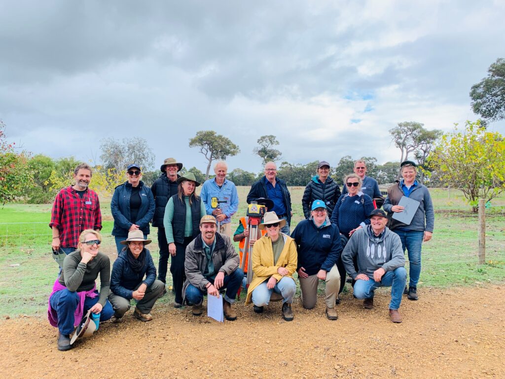
Residents are invited to discover how flood-risk to Busselton is managed across the region through GeoCatch’s annual bus tour, offering behind-the-scenes access to some of the Geographe Catchment’s most important drainage and flood management infrastructure.
The bus tour will take place on Thursday, 17 September 2026, providing participants with the opportunity to explore key sites and hear directly from experts responsible for managing water across the region.
Infrastructure managers from Water Corporation and the Department of Water and Environmental Regulation will guide attendees through Busselton’s drainage network, explaining how the system operates, how flood modelling helps predict and manage flood events, and the measures in place to balance flood risk and water quality in our waterways.
The free tour will visit several significant water management assets, including Sabina River Detention Basin; Vasse Diversion Drain; Vasse Estuary Surge Barrier and Wonnerup Sand Bar.
GeoCatch Executive Manager, Drew McKenzie said the unique tour provides a valuable opportunity for community members to better understand the infrastructure and management that helps integrate both flood protection and water quality.
“Many people see the drains, channels and waterways around the region but may not realise how interconnected these systems are or the important role they play during heavy rainfall events,” said Mr McKenzie.
“This tour gives participants the chance to hear directly from the experts, visit key sites and gain a greater appreciation of the planning, engineering and environmental management involved in protecting our community from flood impacts.”
The tour runs from 9.15am to 2pm and a light lunch will be provided. Places are limited and bookings are essential. For more information and to register, visit geocatch.asn.au/event
This event is supported by Healthy Estuaries WA and Revitalising Geographe Waterways – State Government programs protecting the health of our estuaries.