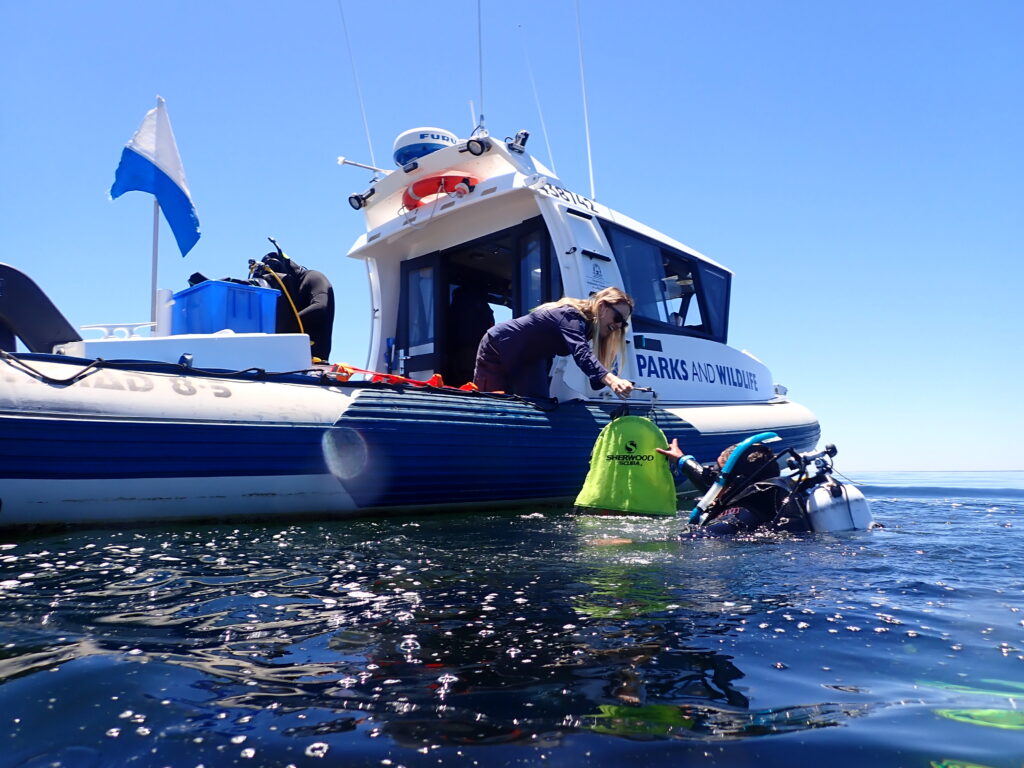
The Keep Watch seagrass monitoring program was initiated due to concerns for the health of seagrass meadows in Geographe Bay from predicted increases in catchment nutrients.
The aim of the program is to monitor near shore seagrass meadows annually to detect any change in seagrass health. Seagrass shoot density of the dominant seagrass species Posidonia sinuosa is monitored at seven sites across Geographe Bay as an indicator of seagrass health.
Observations of algal epiphyte cover and seagrass leaf nutrient content and nitrogen isotope signals are also measured to help interpret any changes, as well as for epiphytic algae at a subset of sites.
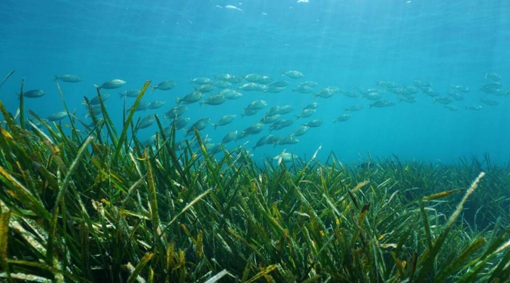
Seagrass
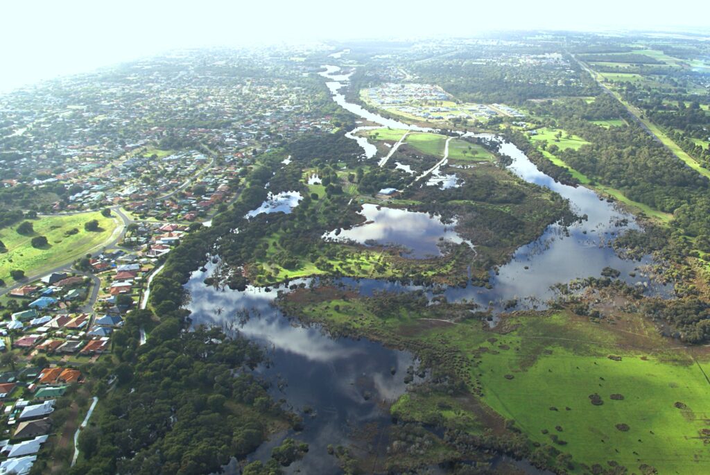
Geographe Bay is dominated by the second largest seagrass meadow in Western Australia.
Seagrass meadows play a vital role in stabilising sediments within the Bay and provide critical habitat for more than 70 species of fish and other marine life.
A major threat to the health of our seagrass meadows is nutrient run-off from the Catchment.
Excess nutrients promote algae growth, which can smother seagrass when in high concentrations.
The KeepWatch seagrass monitoring project is coordinated by GeoCatch and funded by Water Corporation, with in-kind support from the Department of Biodiversity, Conservation and Attractions. Scientists from Edith Cowan University undertake the monitoring of seagrass health and distribution at eight key sites and prepare the annual report.
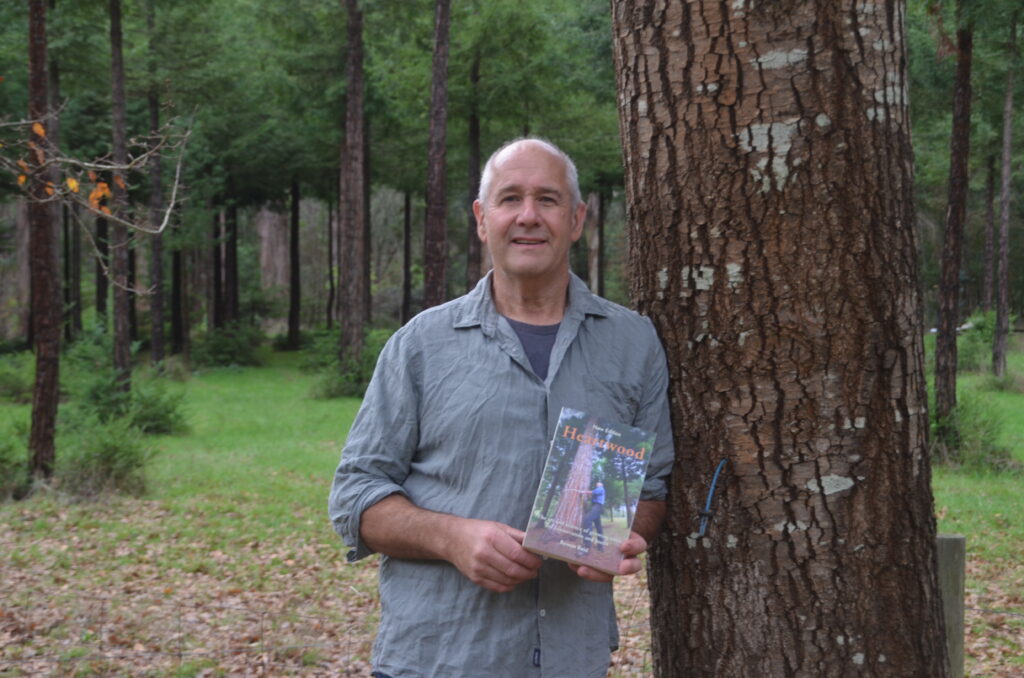
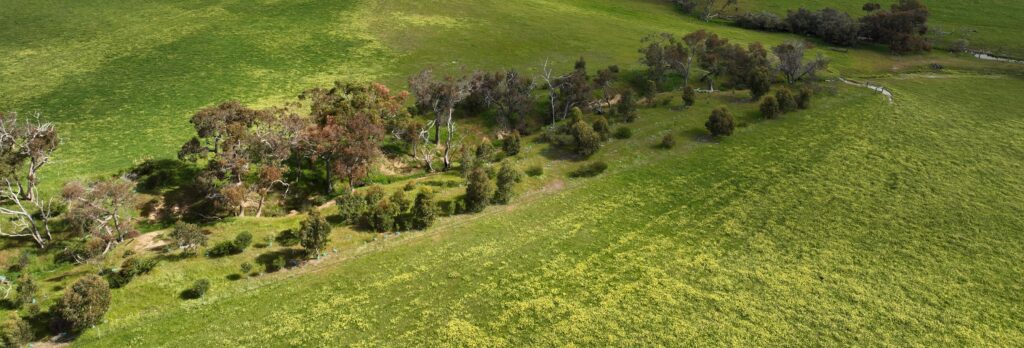
Find out how strategically integrated trees can support livestock health and welfare, farm productivity, soil and water management, and long-term landscape resilience.
Whether you’re caring for a small bush block or a large rural property, gain valuable insights into managing Dieback and safeguarding the health of your local environment.