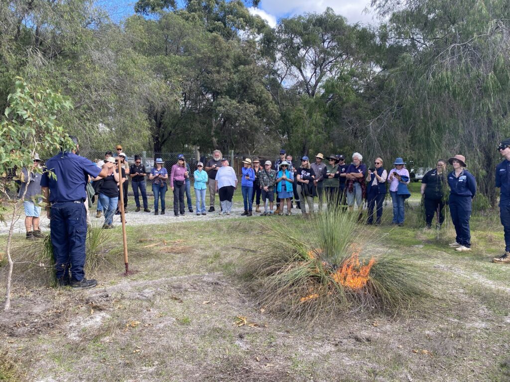
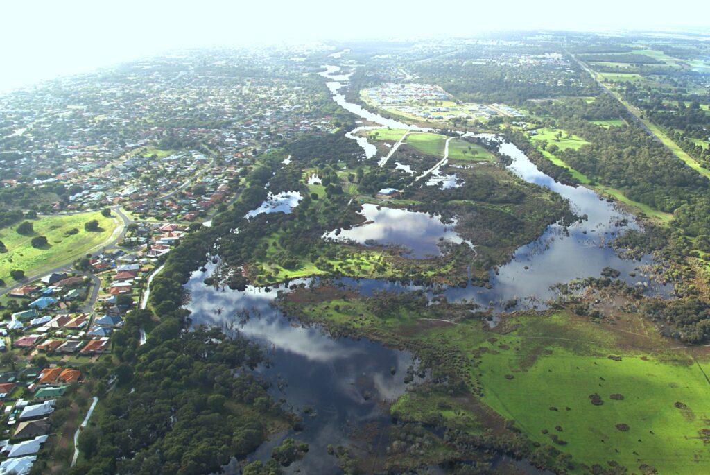
Fifty community members have witnessed firsthand the complexity of the local drainage network on a bus tour of the Geographe catchment, with GeoCatch organising the tour in response to community concerns over flood risk during winter.
With much of the City of Busselton sitting only meters above sea level, flood protection infrastructure is vital to protect the city from flooding. Countless homes, businesses and livelihoods rely on the vast drainage network that flows through, under and around our community.
Operational managers from the Water Corporation and the Department of Water and Environmental Regulation explained how the flood protection system works, the role of flood modelling, and different response measures. The bus tour visited key drainage infrastructure sites including the Sabina River compensating basin, Vasse diversion drain culverts, Vasse surge barrier and the sand bar at Wonnerup.
Water Corporation Operations Manager Josh Jackson started the tour at one of the three flood-compensating basins that hold back vast amounts of flood water after heavy rains. “The three basins are capable of holding nearly 5 million cubic meters of water during a major storm, gradually releasing it back into the system over the following days,” said Josh.
Joel Hall, from Department of Water and Environmental Regulation Aquatic Science Branch, described the level of scientific analysis that goes into ensuring that houses in Busselton don’t flood each winter. “It is a fine balance ensuring that we let enough water into the Vasse River without flooding homes and businesses. Busselton is almost at sea level and acts like a giant bath, so it is important that we get the water balance right,” said Joel.
Busselton resident Carol Palmer attended to gain a greater understanding of the flood risk in the area. “It was really interesting how all the agencies each have a different role to play but they all have such a good understanding of the water flow throughout the catchment. I was impressed how the different agencies monitor the water levels to ensure that Busselton does not flood every winter. It was a very worthwhile bus tour,” said Carol.
For more information on the Geographe catchment, visit geocatch.asn.au.
The tour was organised as a collaboration between GeoCatch, Department of Water and Environmental Regulation and Water Corporation.
Photo: Joel Hall (DWER) persenting at the Vasse Diversion.
For more information about the Geographe Catchment, click here.