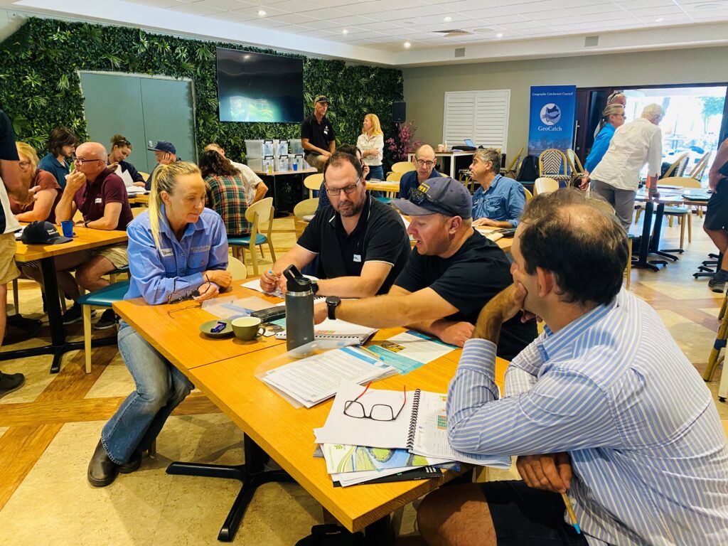
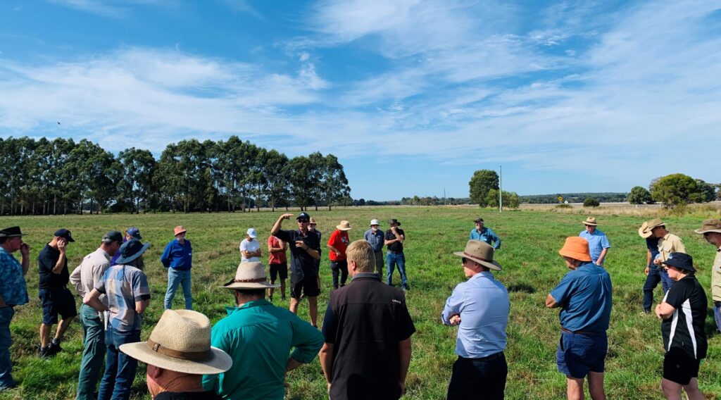
Over 50 people attended a behind-the-scenes bus tour of the Geographe catchment last week to see firsthand how Busselton’s complex local drainage network operates.
The flood protection infrastructure in place is vital to protect the City of Busselton from flooding, as much of the City sits only meters above sea level. Countless homes, businesses and livelihoods rely on the vast drainage network that flows through, under and around our community.
Hosted by GeoCatch, operational managers from Water Corporation and the Department of Water and Environmental Regulation explained how the flood protection system works, the role of flood modelling and how the infrastructure can be used to help manage water quality in our wetlands and rivers.
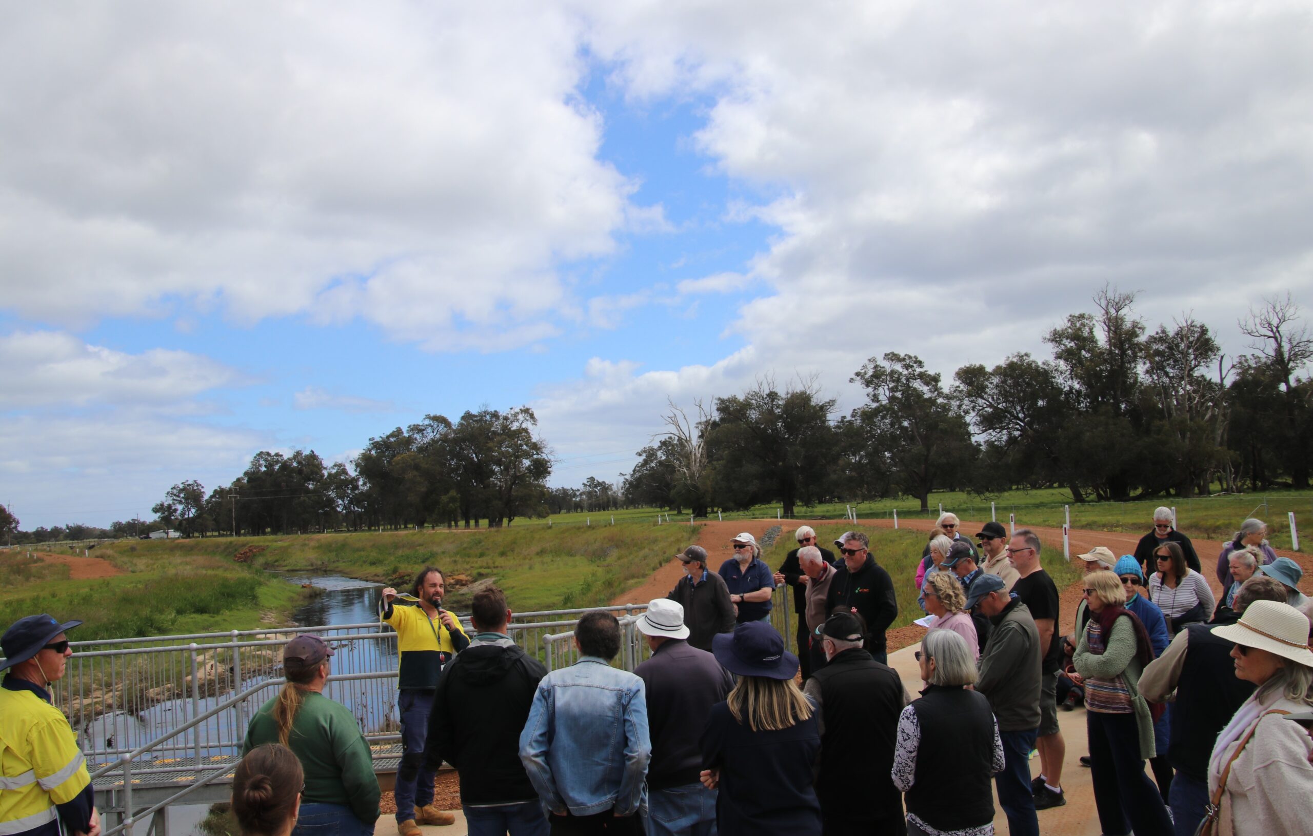
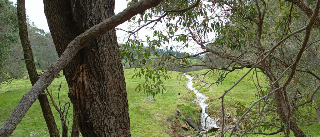
The tour visited key drainage infrastructure sites which included the Sabina River compensating basin, Vasse diversion drain culverts, Vasse surge barrier and concluded with a walk to the sand bar at Wonnerup.
Joel Hall, from Department of Water and Environmental Regulation Aquatic Science Branch, said, “Our water management strategies for the Lower Vasse River are based on years of flow measurements, nutrient sampling, and ecological monitoring. Our approach ensures that as much high-quality water as possible is delivered to the river—without increasing flood risks to nearby homes or businesses.”
GeoCatch has hosted the tour annually since 2021 in response to community concerns over flood risk during winter and it has grown in popularity each year.
GeoCatch Chair, Vicky Winton said it’s wonderful to see the community so curious to find out about Busselton’s flood defences infrastructure.
“The experts from Department of Water and Environmental Regulation and Water Corporation have done a fantastic job setting out how the system works in the face of changing environmental conditions,” said Vicky. “Thanks to the GeoCatch staff for organising everything – what a great way to spend a weekday morning!”
Attendees were impressed with the expertise shared by the presenters and commented on how the tour revealed the complexities behind water management and the collaboration between different agencies. “A very enjoyable day! Interesting, informative and well organised,” said one resident. “There’s far more going on with flood mitigation than I realised,” said another.
The tour was organised as a collaboration between GeoCatch, Department of Water and Environmental Regulation and Water Corporation.
This event is delivered by GeoCatch, as part of Healthy Estuaries WA and Revitalising Geographe Waterways. These State Government initiatives aim to support the long-term health of our south-west estuaries.
Featured image: At Wonnerup sand bar
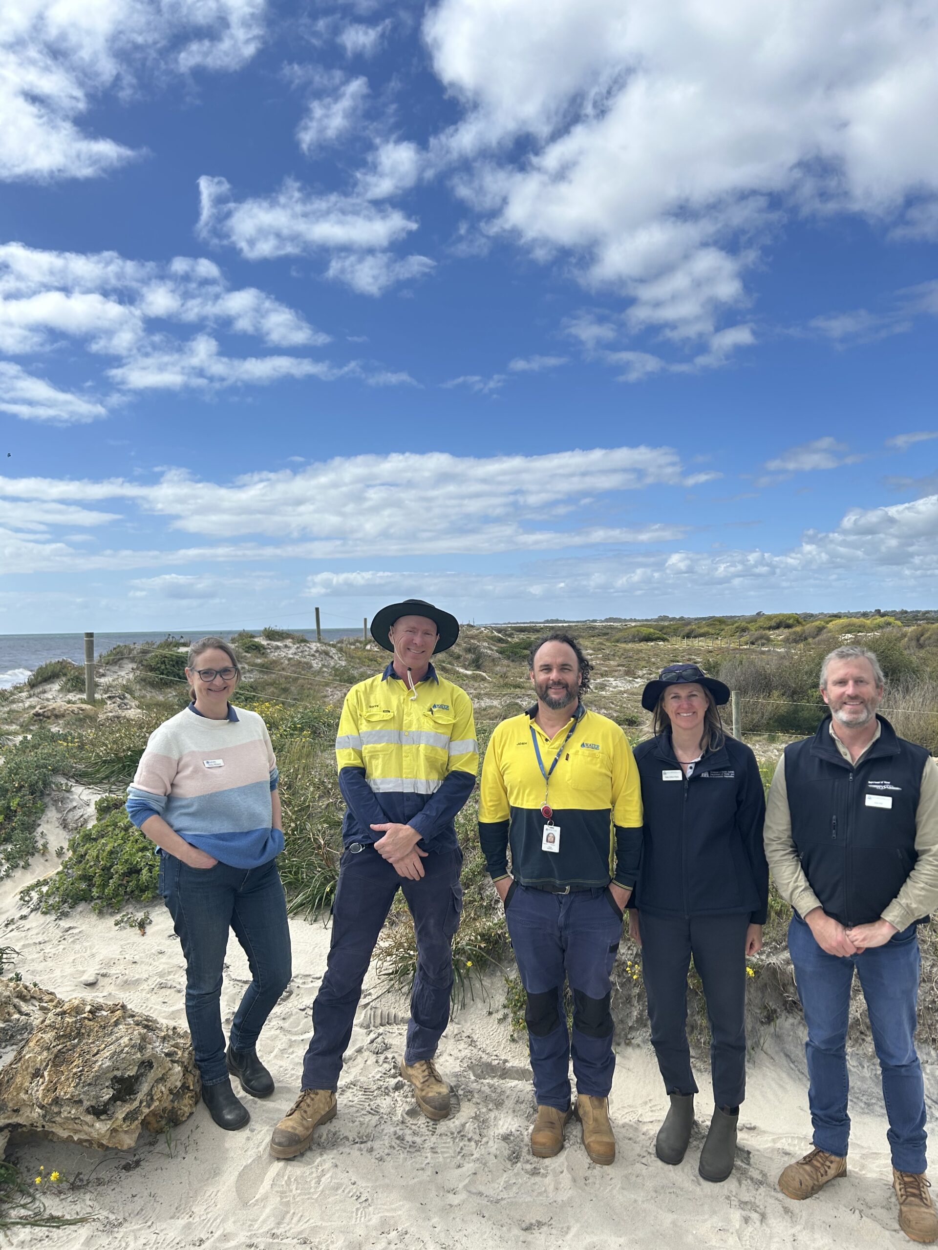
Below left:(L-R): GeoCatch Chair Vicky Winton, Water Corporation’s David Fe and Josh Jackson, DWER’s Sally Clifton-Parks and Joel Hall.
Below right: At the Vasse Diversion Drain culvert